

288
present, irrespective of when they were formalized. The idea behind the use of both
types of polygons was to have an expansive or liberal definition of communal ejido
lands (in the case of RAN), and a more restrictive/conservative definition of communal lands (TUC).
In order to extract summary aridity metrics, and assign them to each Latin
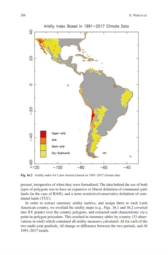
American country, we overlaid the aridity maps (e.g., Figs. 16.1 and 16.2 coverted
into XY points) over the country polygons, and extracted each characteristic via a
point-in-polygon procedure. This resulted in summary tables by country (33 observations in total) which contained all aridity measures calculated: AI for each of the
two multi-year perdiods, AI change or difference between the two periods, and AI
1991–2017 trends.
Fig. 16.2 Aridity index for Latin America based on 1991–2017 climate data
E. Nickl et al.
present, irrespective of when they were formalized. The idea behind the use of both
types of polygons was to have an expansive or liberal definition of communal ejido
lands (in the case of RAN), and a more restrictive/conservative definition of communal lands (TUC).
In order to extract summary aridity metrics, and assign them to each Latin
American country, we overlaid the aridity maps (e.g., Figs. 16.1 and 16.2 coverted
into XY points) over the country polygons, and extracted each characteristic via a
point-in-polygon procedure. This resulted in summary tables by country (33 observations in total) which contained all aridity measures calculated: AI for each of the
two multi-year perdiods, AI change or difference between the two periods, and AI
1991–2017 trends.
Fig. 16.2 Aridity index for Latin America based on 1991–2017 climate data
E. Nickl et al.