

13.5 Geostatistics through Spatial Database
Turkey started the Turkish Agricultural and Environmental Informatics Research
and Application Center (TARBIL) project in 2011. Through this project, an integrated agricultural information system has been created. One of the innovative parts
of the system is the novel agrometeorological stations. They are the first robotic
agrometeorological stations in the world. Their interactive structure enables phenological observations besides the agrometeorological computed indices derived from
sensors. Multiple uses of similar type or correlated data sensors enable calibration
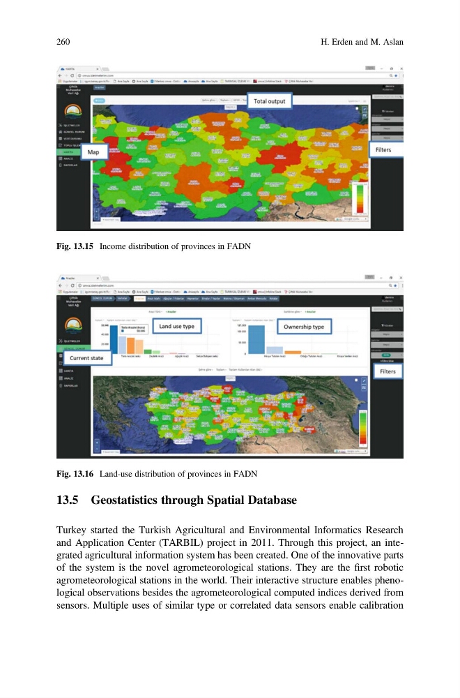
Fig. 13.16 Land-use distribution of provinces in FADN
Fig. 13.15 Income distribution of provinces in FADN
260
H. Erden and M. Aslan
Turkey started the Turkish Agricultural and Environmental Informatics Research
and Application Center (TARBIL) project in 2011. Through this project, an integrated agricultural information system has been created. One of the innovative parts
of the system is the novel agrometeorological stations. They are the first robotic
agrometeorological stations in the world. Their interactive structure enables phenological observations besides the agrometeorological computed indices derived from
sensors. Multiple uses of similar type or correlated data sensors enable calibration
Fig. 13.16 Land-use distribution of provinces in FADN
Fig. 13.15 Income distribution of provinces in FADN
260
H. Erden and M. Aslan