

crop condition monitoring and yield estimation even though the spatial resolutions
of 250-m to 1-km are not ideal for small fields. The National Aeronautics and Space
Adminstration (NASA) provides MODIS data products at different processing levels
with well-defined quality controls. These products include daily surface reflectance
at 250-m, 500-m,and 1-km spatial resolutions (Vermote et al. 2002); multi-date
composite vegetation indices (Huete et al. 2002); multi-date composite leaf area
index (Myneni et al. 2002), daily land surface temperature (Wan et al. 2002); and
daily nadir BRDF-adjusted reflectance (NBAR) (Schaaf et al. 2002). Table 2.3 lists
the major MODIS data products that are related to agricultural applications. They
can be downloaded from the NASA EarthData website (https://earthdata.nasa.gov/).
VIIRS is an operational MODIS-like sensor aboard the Suomi NPP (National
Polar-orbiting Partnership) and the Joint Polar Satellite System (JPSS-1 or NOAA20). Although the main goal of VIIRS was to improve weather forecast, much of the
capability for land science has been reserved. Two sets of VIIRS land products have
been generated. A suite of Environmental Data Records (EDRs) was produced by
the National Oceanic and Atmospheric Administration (NOAA) to meet the operational data needs, primarily for the National Weather Service. Another suite of Earth
System Data Records (ESDRs) was developed by NASA to meet the needs of the
global change science community. NASA aims to create enhanced operational
products, as well as additional products not included in NOAA’s operational products, to provide continuity with the MODIS data record. The VIIRS data products
use the MODIS similar name convention with prefix of “VNP” and are available
from the EarthData website. VIIRS is an operational satellite sensor and will
continue in the future.
Sentinel-2 is a medium-resolution satellite developed by the European Space
Agency (ESA). The Sentinel-2 constellation includes two (A and B) satellites.
Sentinel-2A was launched on June 23, 2015, and Sentinel-2B was launched on
March 7, 2017. Each Sentinel-2 satellite carries a single multispectral instrument
(MSI) with 13 spectral channels in the visible, near infrared, and shortwave infrared
bands (Table 2.4). The MSI sensor has a wider field of view (290 km) compared to
Landsat (185 km) and thus shortens the revisit time (10 days for one satellite or
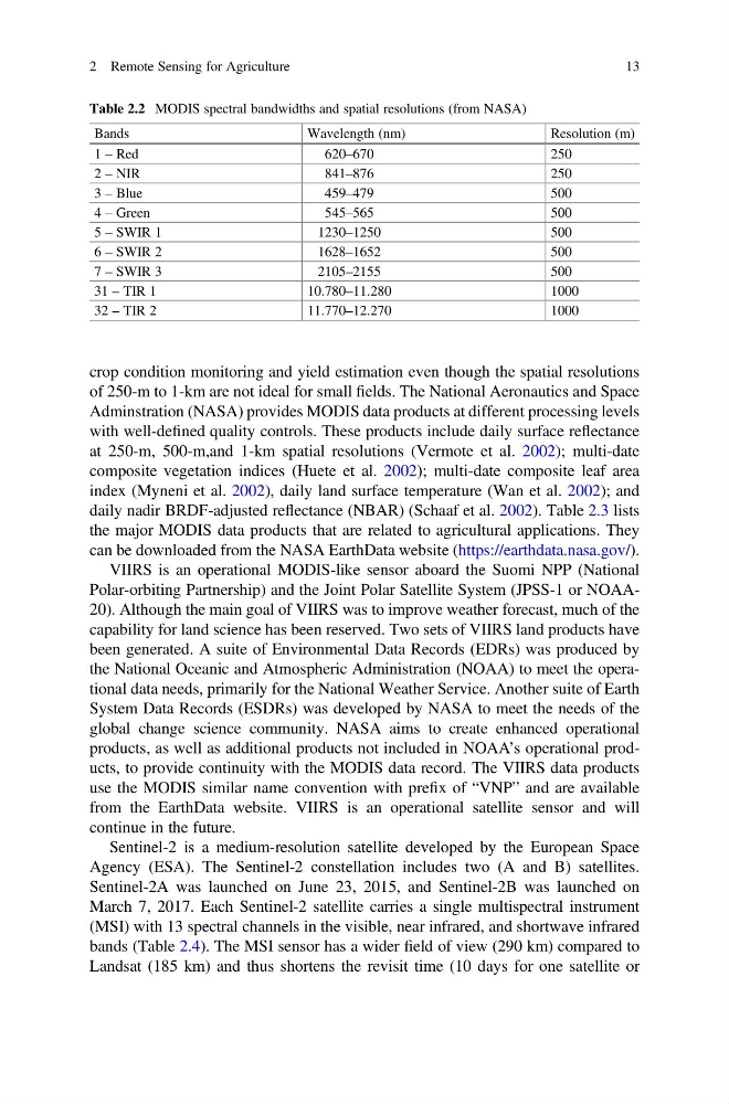
Table 2.2 MODIS spectral bandwidths and spatial resolutions (from NASA)
Bands
Wavelength (nm)
Resolution (m)
1 – Red
620–670
250
2 – NIR
841–876
250
3 – Blue
459–479
500
4 – Green
545–565
500
5 – SWIR 1
1230–1250
500
6 – SWIR 2
1628–1652
500
7 – SWIR 3
2105–2155
500
31 – TIR 1
10.780–11.280
1000
32 – TIR 2
11.770–12.270
1000
2 Remote Sensing for Agriculture
13
of 250-m to 1-km are not ideal for small fields. The National Aeronautics and Space
Adminstration (NASA) provides MODIS data products at different processing levels
with well-defined quality controls. These products include daily surface reflectance
at 250-m, 500-m,and 1-km spatial resolutions (Vermote et al. 2002); multi-date
composite vegetation indices (Huete et al. 2002); multi-date composite leaf area
index (Myneni et al. 2002), daily land surface temperature (Wan et al. 2002); and
daily nadir BRDF-adjusted reflectance (NBAR) (Schaaf et al. 2002). Table 2.3 lists
the major MODIS data products that are related to agricultural applications. They
can be downloaded from the NASA EarthData website (https://earthdata.nasa.gov/).
VIIRS is an operational MODIS-like sensor aboard the Suomi NPP (National
Polar-orbiting Partnership) and the Joint Polar Satellite System (JPSS-1 or NOAA20). Although the main goal of VIIRS was to improve weather forecast, much of the
capability for land science has been reserved. Two sets of VIIRS land products have
been generated. A suite of Environmental Data Records (EDRs) was produced by
the National Oceanic and Atmospheric Administration (NOAA) to meet the operational data needs, primarily for the National Weather Service. Another suite of Earth
System Data Records (ESDRs) was developed by NASA to meet the needs of the
global change science community. NASA aims to create enhanced operational
products, as well as additional products not included in NOAA’s operational products, to provide continuity with the MODIS data record. The VIIRS data products
use the MODIS similar name convention with prefix of “VNP” and are available
from the EarthData website. VIIRS is an operational satellite sensor and will
continue in the future.
Sentinel-2 is a medium-resolution satellite developed by the European Space
Agency (ESA). The Sentinel-2 constellation includes two (A and B) satellites.
Sentinel-2A was launched on June 23, 2015, and Sentinel-2B was launched on
March 7, 2017. Each Sentinel-2 satellite carries a single multispectral instrument
(MSI) with 13 spectral channels in the visible, near infrared, and shortwave infrared
bands (Table 2.4). The MSI sensor has a wider field of view (290 km) compared to
Landsat (185 km) and thus shortens the revisit time (10 days for one satellite or
Table 2.2 MODIS spectral bandwidths and spatial resolutions (from NASA)
Bands
Wavelength (nm)
Resolution (m)
1 – Red
620–670
250
2 – NIR
841–876
250
3 – Blue
459–479
500
4 – Green
545–565
500
5 – SWIR 1
1230–1250
500
6 – SWIR 2
1628–1652
500
7 – SWIR 3
2105–2155
500
31 – TIR 1
10.780–11.280
1000
32 – TIR 2
11.770–12.270
1000
2 Remote Sensing for Agriculture
13