

costs of information searching and retrieving and seamlessly connect end users like
farmers with information suppliers. Integrating the sensor web capability, GeoFairy
shows its potentials for operational use and grand problem-solving in addressing the
modern agricultural challenges.
8.4.8 CyberConnector COVALI
Numeric modeling is a widely applied solution for simulating the crops and the
associated environment. There are many models for various processes and transformation in the nature, e.g., weather model, crop growth model, soil model, rainfall
model, groundwater model, etc. (http://earthcube.org/sites/default/files/doc-reposi
tory/AtmoCloudAerosolComp_EndUserWorkshop_ExecSummary.pdf).
These
models are the main players producing all kinds of decision-assisting information
like when to flower, when to silk, when to rain, and when to irrigate. However, there
are many models which we have no idea if their results are accurate enough or
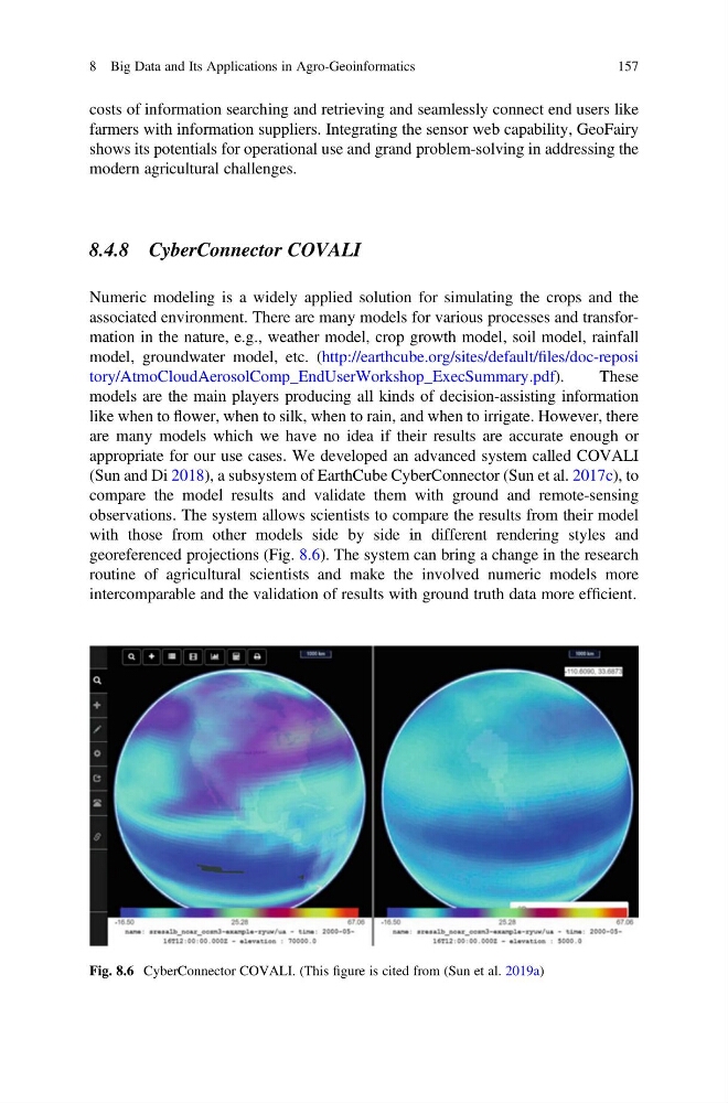
appropriate for our use cases. We developed an advanced system called COVALI
(Sun and Di 2018), a subsystem of EarthCube CyberConnector (Sun et al. 2017c), to
compare the model results and validate them with ground and remote-sensing
observations. The system allows scientists to compare the results from their model
with those from other models side by side in different rendering styles and
georeferenced projections (Fig. 8.6). The system can bring a change in the research
routine of agricultural scientists and make the involved numeric models more
intercomparable and the validation of results with ground truth data more efficient.
Fig. 8.6 CyberConnector COVALI. (This figure is cited from (Sun et al. 2019a)
8 Big Data and Its Applications in Agro-Geoinformatics
157
farmers with information suppliers. Integrating the sensor web capability, GeoFairy
shows its potentials for operational use and grand problem-solving in addressing the
modern agricultural challenges.
8.4.8 CyberConnector COVALI
Numeric modeling is a widely applied solution for simulating the crops and the
associated environment. There are many models for various processes and transformation in the nature, e.g., weather model, crop growth model, soil model, rainfall
model, groundwater model, etc. (http://earthcube.org/sites/default/files/doc-reposi
tory/AtmoCloudAerosolComp_EndUserWorkshop_ExecSummary.pdf).
These
models are the main players producing all kinds of decision-assisting information
like when to flower, when to silk, when to rain, and when to irrigate. However, there
are many models which we have no idea if their results are accurate enough or
appropriate for our use cases. We developed an advanced system called COVALI
(Sun and Di 2018), a subsystem of EarthCube CyberConnector (Sun et al. 2017c), to
compare the model results and validate them with ground and remote-sensing
observations. The system allows scientists to compare the results from their model
with those from other models side by side in different rendering styles and
georeferenced projections (Fig. 8.6). The system can bring a change in the research
routine of agricultural scientists and make the involved numeric models more
intercomparable and the validation of results with ground truth data more efficient.
Fig. 8.6 CyberConnector COVALI. (This figure is cited from (Sun et al. 2019a)
8 Big Data and Its Applications in Agro-Geoinformatics
157