

8.4.9 Geoweaver
In agro-geoinformatics, managing workflows is quite a challenging task, because
workflows frequently involve many atomic processes and multiple sources of
datasets, which might be distributed on various servers. A good workflow management tool can help scientists to completely avoid the hassle and greatly improve the
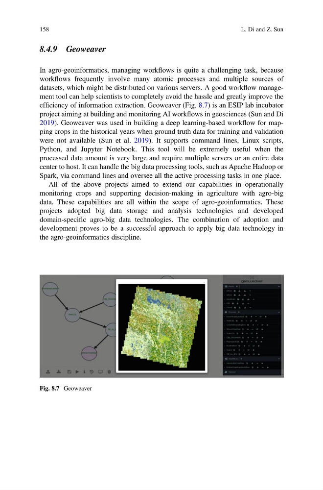
efficiency of information extraction. Geoweaver (Fig. 8.7) is an ESIP lab incubator
project aiming at building and monitoring AI workflows in geosciences (Sun and Di
2019). Geoweaver was used in building a deep learning-based workflow for mapping crops in the historical years when ground truth data for training and validation
were not available (Sun et al. 2019). It supports command lines, Linux scripts,
Python, and Jupyter Notebook. This tool will be extremely useful when the
processed data amount is very large and require multiple servers or an entire data
center to host. It can handle the big data processing tools, such as Apache Hadoop or
Spark, via command lines and oversee all the active processing tasks in one place.
All of the above projects aimed to extend our capabilities in operationally
monitoring crops and supporting decision-making in agriculture with agro-big
data. These capabilities are all within the scope of agro-geoinformatics. These
projects adopted big data storage and analysis technologies and developed
domain-specific agro-big data technologies. The combination of adoption and
development proves to be a successful approach to apply big data technology in
the agro-geoinformatics discipline.
Fig. 8.7 Geoweaver
158
L. Di and Z. Sun
In agro-geoinformatics, managing workflows is quite a challenging task, because
workflows frequently involve many atomic processes and multiple sources of
datasets, which might be distributed on various servers. A good workflow management tool can help scientists to completely avoid the hassle and greatly improve the
efficiency of information extraction. Geoweaver (Fig. 8.7) is an ESIP lab incubator
project aiming at building and monitoring AI workflows in geosciences (Sun and Di
2019). Geoweaver was used in building a deep learning-based workflow for mapping crops in the historical years when ground truth data for training and validation
were not available (Sun et al. 2019). It supports command lines, Linux scripts,
Python, and Jupyter Notebook. This tool will be extremely useful when the
processed data amount is very large and require multiple servers or an entire data
center to host. It can handle the big data processing tools, such as Apache Hadoop or
Spark, via command lines and oversee all the active processing tasks in one place.
All of the above projects aimed to extend our capabilities in operationally
monitoring crops and supporting decision-making in agriculture with agro-big
data. These capabilities are all within the scope of agro-geoinformatics. These
projects adopted big data storage and analysis technologies and developed
domain-specific agro-big data technologies. The combination of adoption and
development proves to be a successful approach to apply big data technology in
the agro-geoinformatics discipline.
Fig. 8.7 Geoweaver
158
L. Di and Z. Sun