

415
How Can 3D Modeling and Visualization Be Used with Geospatial Technology?
a central repository of 3D models from users around the world. In the 3D
Warehouse, you can find new components, objects, and a wide variety of 3D
buildings, ranging from state capital buildings, to national monuments, to
sports arenas from around the world. GSU makes it easy to interact with the
3D Warehouse—the software allows you to upload your model to the warehouse and also to download items from the warehouse into GSU or directly
to Google Earth. The 3D Warehouse is a great source of models from users of
all levels of ability and contains guidelines on how to model for inclusion into
Google Earth (see Hands-on Application 14.2: Digging into Google’s 3D Warehouse on page 416 for more information about the 3D Warehouse).
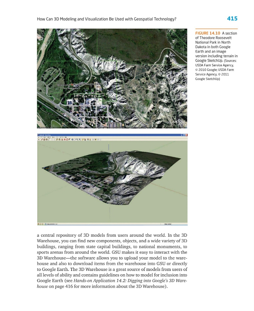
FIGURE 14.10 A section
of Theodore Roosevelt
National Park in North
Dakota in both Google
Earth and an image
version including terrain in
Google SketchUp. (Sources:
USDA Farm Service Agency,
© 2010 Google; USDA Farm
Service Agency, © 2011
Google SketchUp)
How Can 3D Modeling and Visualization Be Used with Geospatial Technology?
a central repository of 3D models from users around the world. In the 3D
Warehouse, you can find new components, objects, and a wide variety of 3D
buildings, ranging from state capital buildings, to national monuments, to
sports arenas from around the world. GSU makes it easy to interact with the
3D Warehouse—the software allows you to upload your model to the warehouse and also to download items from the warehouse into GSU or directly
to Google Earth. The 3D Warehouse is a great source of models from users of
all levels of ability and contains guidelines on how to model for inclusion into
Google Earth (see Hands-on Application 14.2: Digging into Google’s 3D Warehouse on page 416 for more information about the 3D Warehouse).
FIGURE 14.10 A section
of Theodore Roosevelt
National Park in North
Dakota in both Google
Earth and an image
version including terrain in
Google SketchUp. (Sources:
USDA Farm Service Agency,
© 2010 Google; USDA Farm
Service Agency, © 2011
Google SketchUp)