

403
Digital Terrain Analysis
11. Two new windows will appear, one showing the flight path as red and
black lines and another window that shows a video clip of flying over the
DEM.
12. MICRODEM will prompt you to “Continue w/these parameters?” Click
Yes to watch the video clip.
13. A short clip will play and then a new dialog box will open prompting you
to open a movie. Select the file called “FLYT.MOV” and click Open.
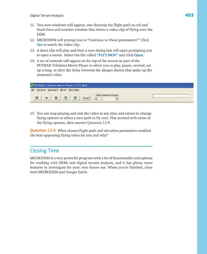
14. A set of controls will appear at the top of the screen as part of the
PETMAR Trilobites Movie Player to allow you to play, pause, rewind, set
up a loop, or alter the delay between the images shown that make up the
animated video.
15. You can stop playing and exit the video at any time and return to change
flying options or select a new path to fly over. Play around with some of
the flying options, then answer Question 13.9.
Question 13.9 What chosen flight path and elevation parameters enabled
the best-appearing flying video for you and why?
Closing Time
MICRODEM is a very powerful program with a lot of functionality and options
for working with DEMs and digital terrain analysis, and it has plenty more
features to investigate for your own future use. When you’re finished, close
both MICRODEM and Google Earth.
Digital Terrain Analysis
11. Two new windows will appear, one showing the flight path as red and
black lines and another window that shows a video clip of flying over the
DEM.
12. MICRODEM will prompt you to “Continue w/these parameters?” Click
Yes to watch the video clip.
13. A short clip will play and then a new dialog box will open prompting you
to open a movie. Select the file called “FLYT.MOV” and click Open.
14. A set of controls will appear at the top of the screen as part of the
PETMAR Trilobites Movie Player to allow you to play, pause, rewind, set
up a loop, or alter the delay between the images shown that make up the
animated video.
15. You can stop playing and exit the video at any time and return to change
flying options or select a new path to fly over. Play around with some of
the flying options, then answer Question 13.9.
Question 13.9 What chosen flight path and elevation parameters enabled
the best-appearing flying video for you and why?
Closing Time
MICRODEM is a very powerful program with a lot of functionality and options
for working with DEMs and digital terrain analysis, and it has plenty more
features to investigate for your own future use. When you’re finished, close
both MICRODEM and Google Earth.