

379
How Can Terrain Be Represented?
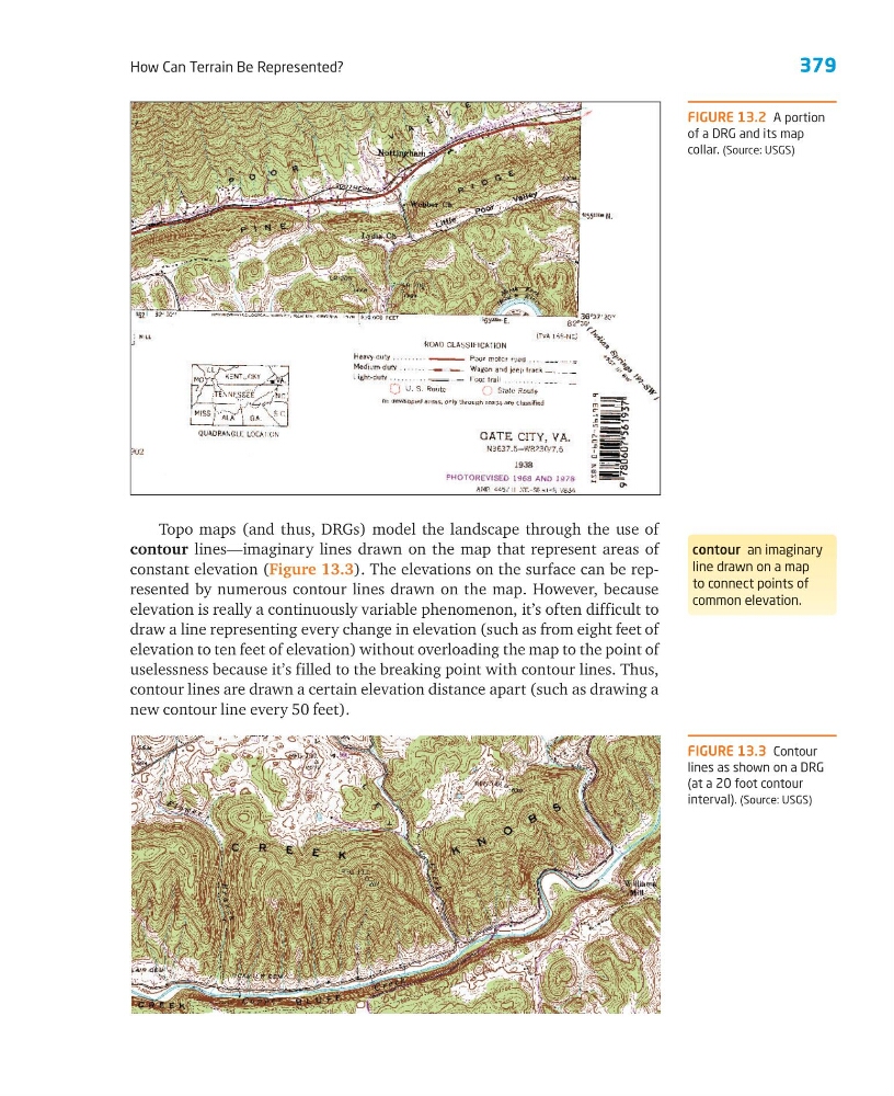
Topo maps (and thus, DRGs) model the landscape through the use of
contour lines—imaginary lines drawn on the map that represent areas of
constant elevation (Figure 13.3). The elevations on the surface can be represented by numerous contour lines drawn on the map. However, because
elevation is really a continuously variable phenomenon, it’s often difficult to
draw a line representing every change in elevation (such as from eight feet of
elevation to ten feet of elevation) without overloading the map to the point of
uselessness because it’s filled to the breaking point with contour lines. Thus,
contour lines are drawn a certain elevation distance apart (such as drawing a
new contour line every 50 feet).
FIGURE 13.2 A portion
of a DRG and its map
collar. (Source: USGS)
contour an imaginary
line drawn on a map
to connect points of
common elevation.
FIGURE 13.3 Contour
lines as shown on a DRG
(at a 20 foot contour
interval). (Source: USGS)
How Can Terrain Be Represented?
Topo maps (and thus, DRGs) model the landscape through the use of
contour lines—imaginary lines drawn on the map that represent areas of
constant elevation (Figure 13.3). The elevations on the surface can be represented by numerous contour lines drawn on the map. However, because
elevation is really a continuously variable phenomenon, it’s often difficult to
draw a line representing every change in elevation (such as from eight feet of
elevation to ten feet of elevation) without overloading the map to the point of
uselessness because it’s filled to the breaking point with contour lines. Thus,
contour lines are drawn a certain elevation distance apart (such as drawing a
new contour line every 50 feet).
FIGURE 13.2 A portion
of a DRG and its map
collar. (Source: USGS)
contour an imaginary
line drawn on a map
to connect points of
common elevation.
FIGURE 13.3 Contour
lines as shown on a DRG
(at a 20 foot contour
interval). (Source: USGS)