

374
Chapter 12 Studying the Environment from Space
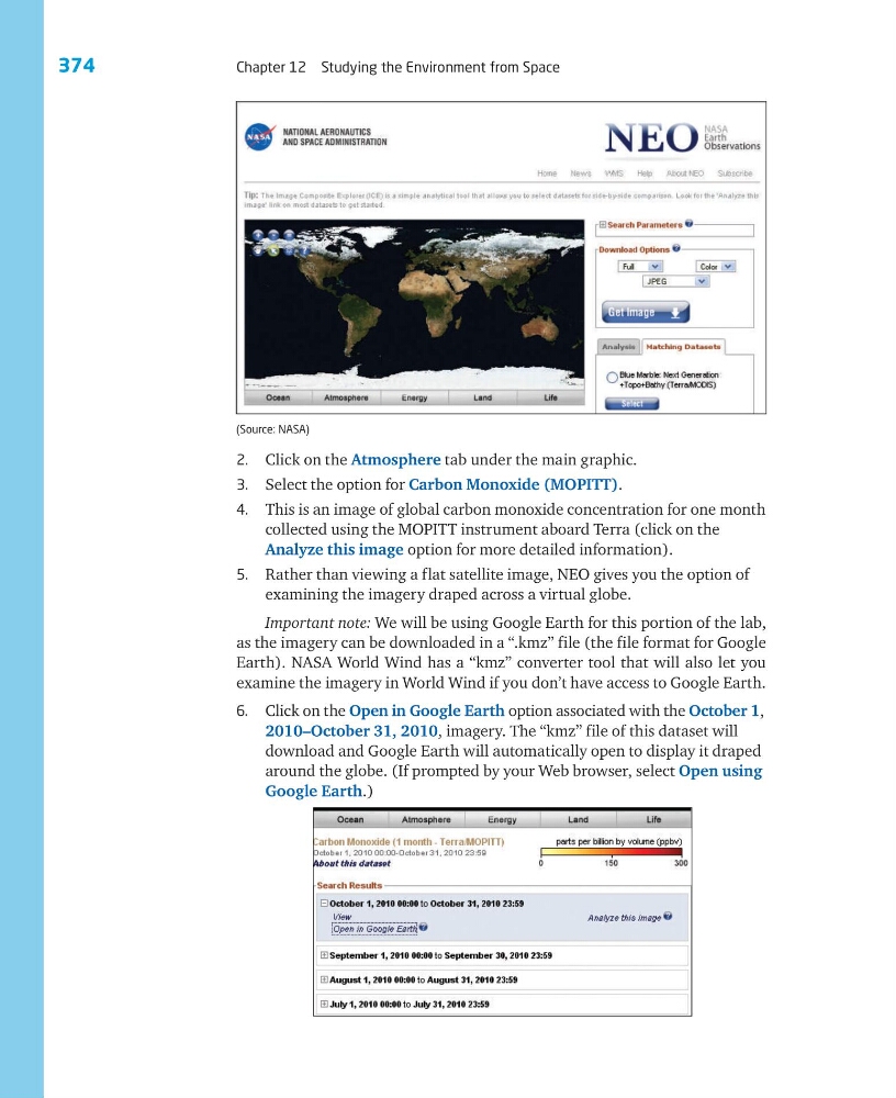
2. Click on the Atmosphere tab under the main graphic.
3. Select the option for Carbon Monoxide (MOPITT).
4. This is an image of global carbon monoxide concentration for one month
collected using the MOPITT instrument aboard Terra (click on the
Analyze this image option for more detailed information).
5. Rather than viewing a flat satellite image, NEO gives you the option of
examining the imagery draped across a virtual globe.
Important note: We will be using Google Earth for this portion of the lab,
as the imagery can be downloaded in a “.kmz” file (the file format for Google
Earth). NASA World Wind has a “kmz” converter tool that will also let you
examine the imagery in World Wind if you don’t have access to Google Earth.
6. Click on the Open in Google Earth option associated with the October 1,
2010–October 31, 2010, imagery. The “kmz” file of this dataset will
download and Google Earth will automatically open to display it draped
around the globe. (If prompted by your Web browser, select Open using
Google Earth.)
(Source: NASA)
Chapter 12 Studying the Environment from Space
2. Click on the Atmosphere tab under the main graphic.
3. Select the option for Carbon Monoxide (MOPITT).
4. This is an image of global carbon monoxide concentration for one month
collected using the MOPITT instrument aboard Terra (click on the
Analyze this image option for more detailed information).
5. Rather than viewing a flat satellite image, NEO gives you the option of
examining the imagery draped across a virtual globe.
Important note: We will be using Google Earth for this portion of the lab,
as the imagery can be downloaded in a “.kmz” file (the file format for Google
Earth). NASA World Wind has a “kmz” converter tool that will also let you
examine the imagery in World Wind if you don’t have access to Google Earth.
6. Click on the Open in Google Earth option associated with the October 1,
2010–October 31, 2010, imagery. The “kmz” file of this dataset will
download and Google Earth will automatically open to display it draped
around the globe. (If prompted by your Web browser, select Open using
Google Earth.)
(Source: NASA)