

343
Landsat Imagery
• Band 3: Red (0.63 to 0.69 m)
• Band 4: Near infrared (0.76 to 0.90 m)
• Band 5: Middle infrared (1.55 to 1.75 m)
• Band 6: Thermal infrared (10.4 to 12.5 m)
• Band 7: Middle infrared (2.08 to 2.35 m)
Also, keep in mind that Landsat TM imagery has a 30-meter spatial resolution (except for the thermal infrared band, which is 120 meters).
Localizing This Lab
Although this lab focuses on a section of a Landsat scene from northeast Ohio,
Landsat imagery is available for download via GloVis at http://glovis.usgs.
gov. This site will provide the raw data that will have to be imported into MultiSpec and processed to use in the program.
Alternatively, NASA has information for obtaining free Landsat data for
use in MultiSpec online at http://change.gsfc.nasa.gov/create.html. This
Website provides instructions for acquiring free data for your own area and
getting it into MultiSpec format.
11.1 Opening Landsat Scenes in MultiSpec
1. Start MultiSpec.
2. MultiSpec will start with an empty text box (which will give you updates
and reports of processes in the program). You can minimize the text box
for now.
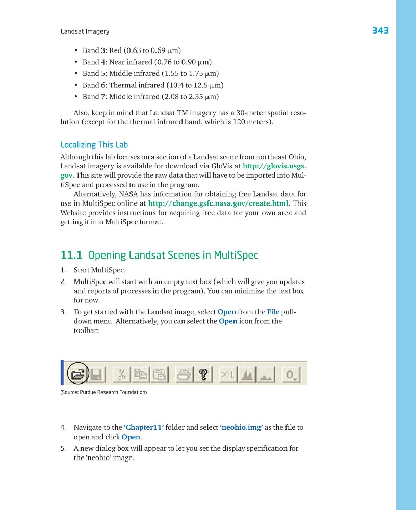
3. To get started with the Landsat image, select Open from the File pulldown menu. Alternatively, you can select the Open icon from the
toolbar:
4. Navigate to the ‘Chapter11’ folder and select ‘neohio.img’ as the file to
open and click Open.
5. A new dialog box will appear to let you set the display specification for
the ‘neohio’ image.
(Source: Purdue Research Foundation)
Landsat Imagery
• Band 3: Red (0.63 to 0.69 m)
• Band 4: Near infrared (0.76 to 0.90 m)
• Band 5: Middle infrared (1.55 to 1.75 m)
• Band 6: Thermal infrared (10.4 to 12.5 m)
• Band 7: Middle infrared (2.08 to 2.35 m)
Also, keep in mind that Landsat TM imagery has a 30-meter spatial resolution (except for the thermal infrared band, which is 120 meters).
Localizing This Lab
Although this lab focuses on a section of a Landsat scene from northeast Ohio,
Landsat imagery is available for download via GloVis at http://glovis.usgs.
gov. This site will provide the raw data that will have to be imported into MultiSpec and processed to use in the program.
Alternatively, NASA has information for obtaining free Landsat data for
use in MultiSpec online at http://change.gsfc.nasa.gov/create.html. This
Website provides instructions for acquiring free data for your own area and
getting it into MultiSpec format.
11.1 Opening Landsat Scenes in MultiSpec
1. Start MultiSpec.
2. MultiSpec will start with an empty text box (which will give you updates
and reports of processes in the program). You can minimize the text box
for now.
3. To get started with the Landsat image, select Open from the File pulldown menu. Alternatively, you can select the Open icon from the
toolbar:
4. Navigate to the ‘Chapter11’ folder and select ‘neohio.img’ as the file to
open and click Open.
5. A new dialog box will appear to let you set the display specification for
the ‘neohio’ image.
(Source: Purdue Research Foundation)