

238
Chapter 8 Getting There Quicker with Geospatial Technology
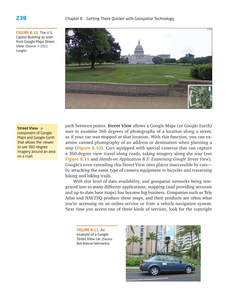
FIGURE 8.10 The U.S.
Capitol Building as seen
from Google Maps Street
View. (Source: © 2011
Google)
path between points. Street View allows a Google Maps (or Google Earth)
user to examine 360 degrees of photography of a location along a street,
as if your car was stopped at that location. With this function, you can examine canned photography of an address or destination when planning a
stop (Figure 8.10). Cars equipped with special cameras that can capture
a 360-degree view travel along roads, taking imagery along the way (see
Figure 8.11 and Hands-on Application 8.5: Examining Google Street View).
Google’s even extending this Street View onto places inaccessible by cars—
by attaching the same type of camera equipment to bicycles and traversing
hiking and biking trails.
With this level of data availability, and geospatial networks being integrated into so many different applications, mapping (and providing accurate
and up-to-date base maps) has become big business. Companies such as Tele
Atlas and NAVTEQ produce these maps, and their products are often what
you’re accessing on an online service or from a vehicle-navigation system.
Next time you access one of these kinds of services, look for the copyright
FIGURE 8.11 An
example of a Google
Street View car. (Source:
Bob Bobster/Wikimedia)
Street View a
component of Google
Maps and Google Earth
that allows the viewer
to see 360-degree
imagery around an area
on a road.
Chapter 8 Getting There Quicker with Geospatial Technology
FIGURE 8.10 The U.S.
Capitol Building as seen
from Google Maps Street
View. (Source: © 2011
Google)
path between points. Street View allows a Google Maps (or Google Earth)
user to examine 360 degrees of photography of a location along a street,
as if your car was stopped at that location. With this function, you can examine canned photography of an address or destination when planning a
stop (Figure 8.10). Cars equipped with special cameras that can capture
a 360-degree view travel along roads, taking imagery along the way (see
Figure 8.11 and Hands-on Application 8.5: Examining Google Street View).
Google’s even extending this Street View onto places inaccessible by cars—
by attaching the same type of camera equipment to bicycles and traversing
hiking and biking trails.
With this level of data availability, and geospatial networks being integrated into so many different applications, mapping (and providing accurate
and up-to-date base maps) has become big business. Companies such as Tele
Atlas and NAVTEQ produce these maps, and their products are often what
you’re accessing on an online service or from a vehicle-navigation system.
Next time you access one of these kinds of services, look for the copyright
FIGURE 8.11 An
example of a Google
Street View car. (Source:
Bob Bobster/Wikimedia)
Street View a
component of Google
Maps and Google Earth
that allows the viewer
to see 360-degree
imagery around an area
on a road.