

223
6
223
Vehicle navigation systems (like those made by companies such as Garmin,
Magellan, or Tom-Tom) are really revolutionary technologies. One small
device mounted on the dashboard will find your precise location, plot it on a
map, determine where the nearest gas stations are, then compute the quickest
route to get you there, all with turn-by-turn directions that announce names
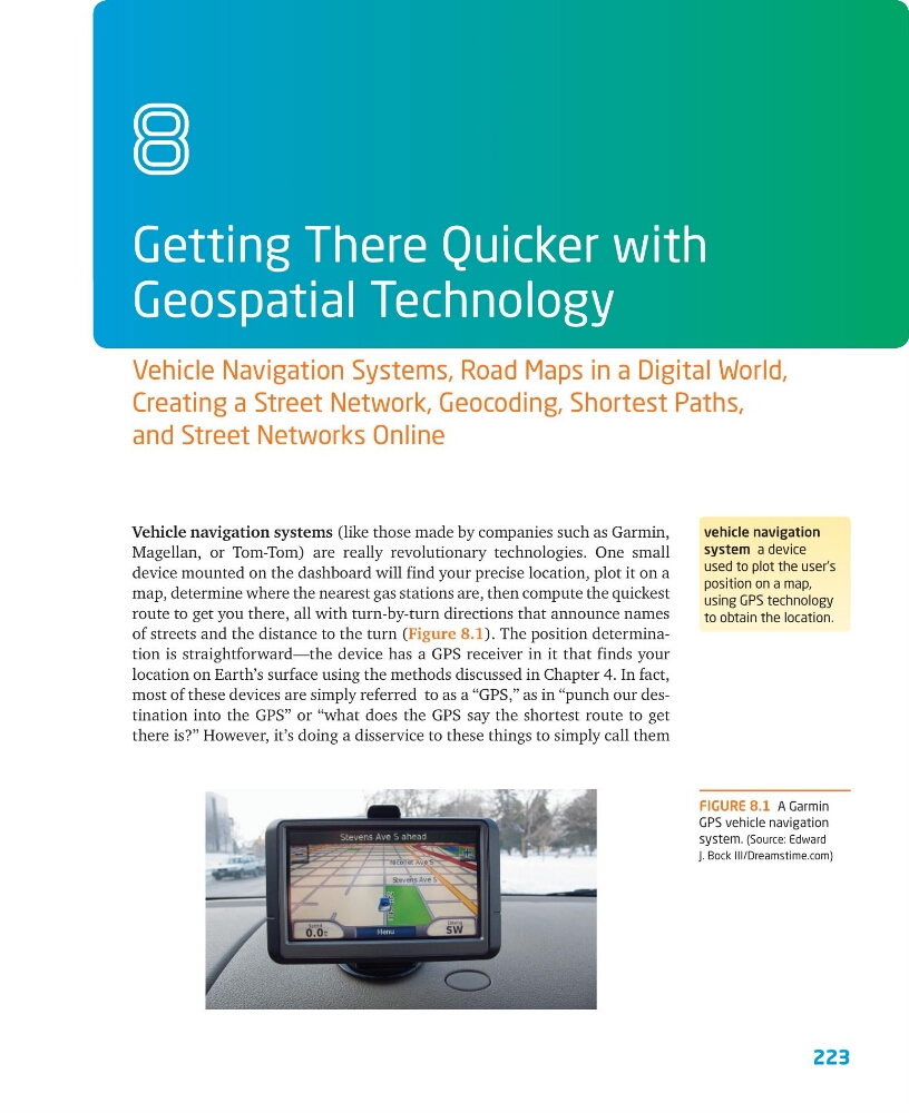
of streets and the distance to the turn (Figure 8.1). The position determination is straightforward—the device has a GPS receiver in it that finds your
location on Earth’s surface using the methods discussed in Chapter 4. In fact,
most of these devices are simply referred to as a “GPS,” as in “punch our destination into the GPS” or “what does the GPS say the shortest route to get
there is?” However, it’s doing a disservice to these things to simply call them
Getting There Quicker with
Geospatial Technology
Vehicle Navigation Systems, Road Maps in a Digital World,
Creating a Street Network, Geocoding, Shortest Paths,
and Street Networks Online
8
vehicle navigation
system a device
used to plot the user’s
position on a map,
using GPS technology
to obtain the location.
FIGURE 8.1 A Garmin
GPS vehicle navigation
system. (Source: Edward
J. Bock III/Dreamstime.com)
6
223
Vehicle navigation systems (like those made by companies such as Garmin,
Magellan, or Tom-Tom) are really revolutionary technologies. One small
device mounted on the dashboard will find your precise location, plot it on a
map, determine where the nearest gas stations are, then compute the quickest
route to get you there, all with turn-by-turn directions that announce names
of streets and the distance to the turn (Figure 8.1). The position determination is straightforward—the device has a GPS receiver in it that finds your
location on Earth’s surface using the methods discussed in Chapter 4. In fact,
most of these devices are simply referred to as a “GPS,” as in “punch our destination into the GPS” or “what does the GPS say the shortest route to get
there is?” However, it’s doing a disservice to these things to simply call them
Getting There Quicker with
Geospatial Technology
Vehicle Navigation Systems, Road Maps in a Digital World,
Creating a Street Network, Geocoding, Shortest Paths,
and Street Networks Online
8
vehicle navigation
system a device
used to plot the user’s
position on a map,
using GPS technology
to obtain the location.
FIGURE 8.1 A Garmin
GPS vehicle navigation
system. (Source: Edward
J. Bock III/Dreamstime.com)