

134
Chapter 5 Working With Digital Spatial Data and GIS
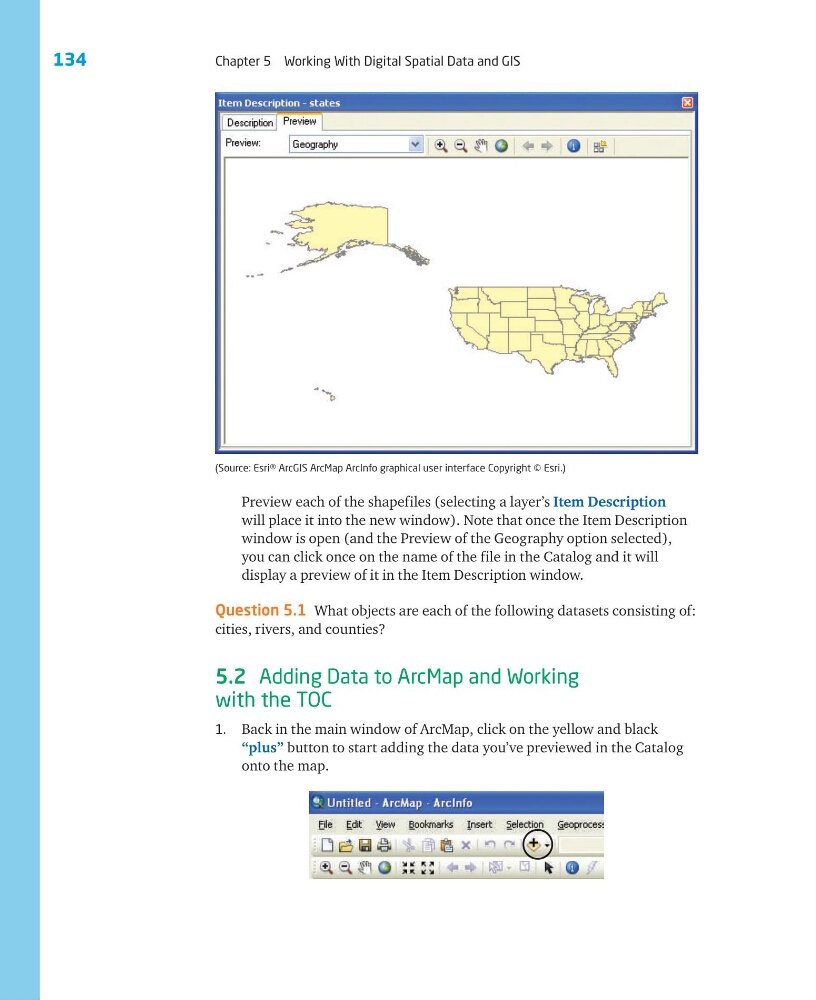
Preview each of the shapefiles (selecting a layer’s Item Description
will place it into the new window). Note that once the Item Description
window is open (and the Preview of the Geography option selected),
you can click once on the name of the file in the Catalog and it will
display a preview of it in the Item Description window.
Question 5.1 What objects are each of the following datasets consisting of:
cities, rivers, and counties?
5.2 Adding Data to ArcMap and Working
with the TOC
1. Back in the main window of ArcMap, click on the yellow and black
“plus” button to start adding the data you’ve previewed in the Catalog
onto the map.
(Source: Esri® ArcGIS ArcMap ArcInfo graphical user interface Copyright © Esri.)
Chapter 5 Working With Digital Spatial Data and GIS
Preview each of the shapefiles (selecting a layer’s Item Description
will place it into the new window). Note that once the Item Description
window is open (and the Preview of the Geography option selected),
you can click once on the name of the file in the Catalog and it will
display a preview of it in the Item Description window.
Question 5.1 What objects are each of the following datasets consisting of:
cities, rivers, and counties?
5.2 Adding Data to ArcMap and Working
with the TOC
1. Back in the main window of ArcMap, click on the yellow and black
“plus” button to start adding the data you’ve previewed in the Catalog
onto the map.
(Source: Esri® ArcGIS ArcMap ArcInfo graphical user interface Copyright © Esri.)