

131
GIS Introduction: ArcGIS Version
comes with AEJEE. Thus, if you’re using ArcGIS 10 for the lab, please download and install AEJEE in order to use its sample data (see page 119).
Localizing This Lab
The dataset used in this lab is Esri sample data for the entire United States.
However, starting in Section 5.6, the lab focuses on Ohio and the locations of
some Ohio cities. With the sample data covering the state boundaries and city
locations for the whole United States, it’s easy enough to select your city (or
ones nearby) and perform the same measurements and analysis using those
cities more local to you than ones in northeast Ohio.
5.1 An Introduction to ArcMap
1. Start ArcMap (the default install folder is called ArcGIS). ArcMap
will begin by asking you questions about “maps. ” In ArcMap, a
“map document” is the means of saving your work—since you’re just
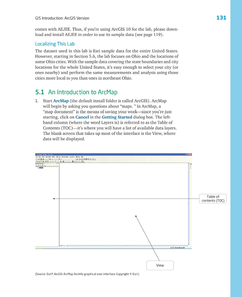
starting, click on Cancel in the Getting Started dialog box. The lefthand column (where the word Layers is) is referred to as the Table of
Contents (TOC)—it’s where you will have a list of available data layers.
The blank screen that takes up most of the interface is the View, where
data will be displayed.
View
Table of
contents (TOC)
(Source: Esri® ArcGIS ArcMap ArcInfo graphical user interface Copyright © Esri.)
GIS Introduction: ArcGIS Version
comes with AEJEE. Thus, if you’re using ArcGIS 10 for the lab, please download and install AEJEE in order to use its sample data (see page 119).
Localizing This Lab
The dataset used in this lab is Esri sample data for the entire United States.
However, starting in Section 5.6, the lab focuses on Ohio and the locations of
some Ohio cities. With the sample data covering the state boundaries and city
locations for the whole United States, it’s easy enough to select your city (or
ones nearby) and perform the same measurements and analysis using those
cities more local to you than ones in northeast Ohio.
5.1 An Introduction to ArcMap
1. Start ArcMap (the default install folder is called ArcGIS). ArcMap
will begin by asking you questions about “maps. ” In ArcMap, a
“map document” is the means of saving your work—since you’re just
starting, click on Cancel in the Getting Started dialog box. The lefthand column (where the word Layers is) is referred to as the Table of
Contents (TOC)—it’s where you will have a list of available data layers.
The blank screen that takes up most of the interface is the View, where
data will be displayed.
View
Table of
contents (TOC)
(Source: Esri® ArcGIS ArcMap ArcInfo graphical user interface Copyright © Esri.)