

128
Chapter 5 Working With Digital Spatial Data and GIS
5.9 Measurements on a Map
With all the cities now labeled, it’s easier to keep track of all of them. With
this in mind, your next task is to make a series of measurements between
points to see what the Euclidian (straight line) distance is between cities in
northeast Ohio.
1. Zoom in tightly so that your View contains the cities of Youngstown and
Warren and the other cities between them.
2. Select the Measurement tool from the toolbar—it’s the one that
resembles a ruler with a question mark positioned overtop.
3. From the available options that appear when you select the
Measurement tool, choose Miles.
4. You’ll see that the cursor has turned into a crosshairs. Place the
crosshairs on the point representing Youngstown and left-click the
mouse. Hold down the left mouse button and drag the crosshairs north
and west to the point representing Girard. The distance measurement
will appear in a box in the upper left section of the screen. The value for
segment is the distance measured on the map, but the value for geodesic
refers to the “surface” distance measured on a sphere.
5. Continue another line from Girard to Niles.
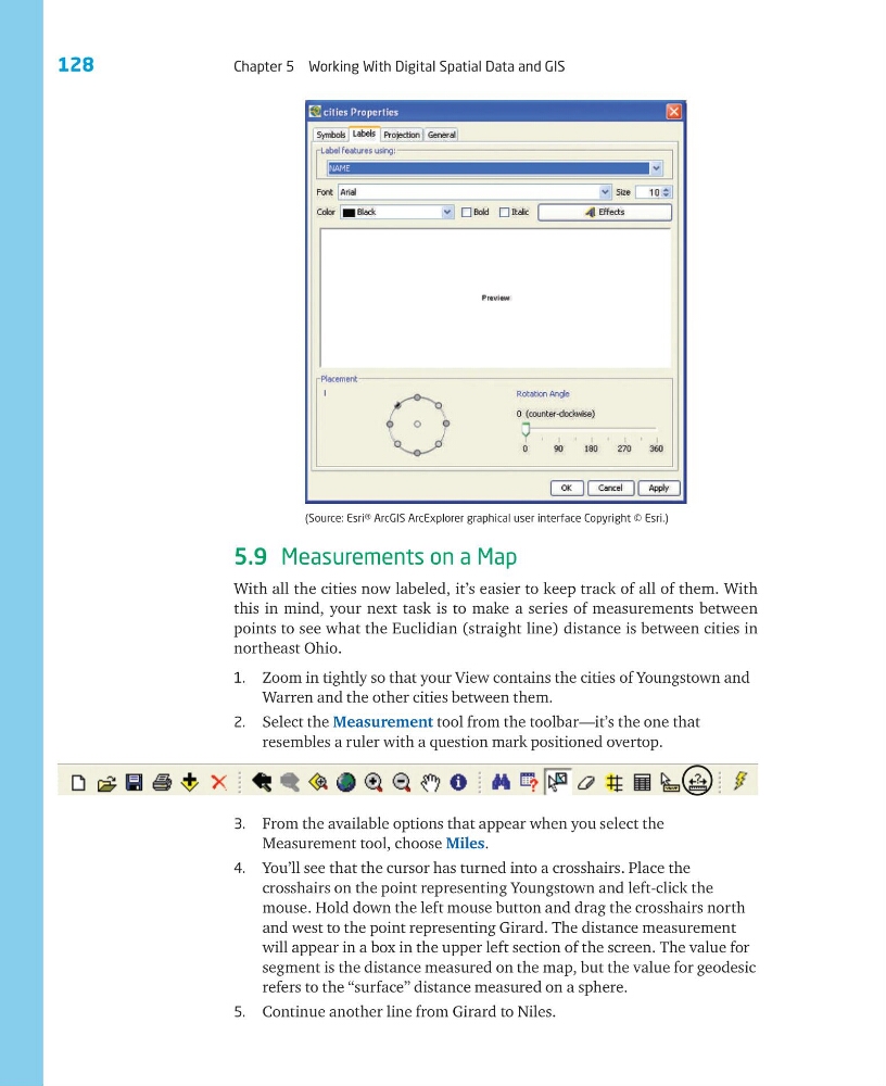
(Source: Esri® ArcGIS ArcExplorer graphical user interface Copyright © Esri.)
Chapter 5 Working With Digital Spatial Data and GIS
5.9 Measurements on a Map
With all the cities now labeled, it’s easier to keep track of all of them. With
this in mind, your next task is to make a series of measurements between
points to see what the Euclidian (straight line) distance is between cities in
northeast Ohio.
1. Zoom in tightly so that your View contains the cities of Youngstown and
Warren and the other cities between them.
2. Select the Measurement tool from the toolbar—it’s the one that
resembles a ruler with a question mark positioned overtop.
3. From the available options that appear when you select the
Measurement tool, choose Miles.
4. You’ll see that the cursor has turned into a crosshairs. Place the
crosshairs on the point representing Youngstown and left-click the
mouse. Hold down the left mouse button and drag the crosshairs north
and west to the point representing Girard. The distance measurement
will appear in a box in the upper left section of the screen. The value for
segment is the distance measured on the map, but the value for geodesic
refers to the “surface” distance measured on a sphere.
5. Continue another line from Girard to Niles.
(Source: Esri® ArcGIS ArcExplorer graphical user interface Copyright © Esri.)