

126
Chapter 5 Working With Digital Spatial Data and GIS
7. Click on the Select button in the dialog box. You’ll see that the point
symbol for the city of Akron has changed to a yellow color. This means it
has been “selected” by AEJEE—any actions performed on the cities layer
will affect the selected items, not all of the cities.
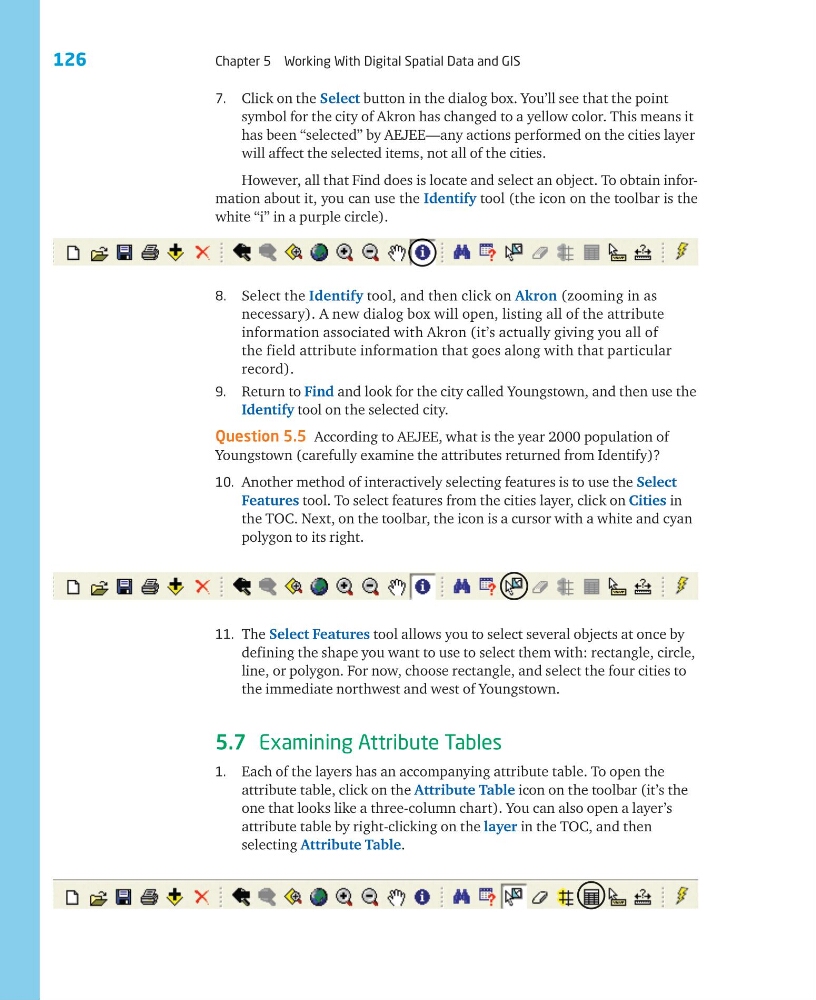
However, all that Find does is locate and select an object. To obtain information about it, you can use the Identify tool (the icon on the toolbar is the
white “i” in a purple circle).
8. Select the Identify tool, and then click on Akron (zooming in as
necessary). A new dialog box will open, listing all of the attribute
information associated with Akron (it’s actually giving you all of
the field attribute information that goes along with that particular
record).
9. Return to Find and look for the city called Youngstown, and then use the
Identify tool on the selected city.
Question 5.5 According to AEJEE, what is the year 2000 population of
Youngstown (carefully examine the attributes returned from Identify)?
10. Another method of interactively selecting features is to use the Select
Features tool. To select features from the cities layer, click on Cities in
the TOC. Next, on the toolbar, the icon is a cursor with a white and cyan
polygon to its right.
11. The Select Features tool allows you to select several objects at once by
defining the shape you want to use to select them with: rectangle, circle,
line, or polygon. For now, choose rectangle, and select the four cities to
the immediate northwest and west of Youngstown.
5.7 Examining Attribute Tables
1. Each of the layers has an accompanying attribute table. To open the
attribute table, click on the Attribute Table icon on the toolbar (it’s the
one that looks like a three-column chart). You can also open a layer’s
attribute table by right-clicking on the layer in the TOC, and then
selecting Attribute Table.
Chapter 5 Working With Digital Spatial Data and GIS
7. Click on the Select button in the dialog box. You’ll see that the point
symbol for the city of Akron has changed to a yellow color. This means it
has been “selected” by AEJEE—any actions performed on the cities layer
will affect the selected items, not all of the cities.
However, all that Find does is locate and select an object. To obtain information about it, you can use the Identify tool (the icon on the toolbar is the
white “i” in a purple circle).
8. Select the Identify tool, and then click on Akron (zooming in as
necessary). A new dialog box will open, listing all of the attribute
information associated with Akron (it’s actually giving you all of
the field attribute information that goes along with that particular
record).
9. Return to Find and look for the city called Youngstown, and then use the
Identify tool on the selected city.
Question 5.5 According to AEJEE, what is the year 2000 population of
Youngstown (carefully examine the attributes returned from Identify)?
10. Another method of interactively selecting features is to use the Select
Features tool. To select features from the cities layer, click on Cities in
the TOC. Next, on the toolbar, the icon is a cursor with a white and cyan
polygon to its right.
11. The Select Features tool allows you to select several objects at once by
defining the shape you want to use to select them with: rectangle, circle,
line, or polygon. For now, choose rectangle, and select the four cities to
the immediate northwest and west of Youngstown.
5.7 Examining Attribute Tables
1. Each of the layers has an accompanying attribute table. To open the
attribute table, click on the Attribute Table icon on the toolbar (it’s the
one that looks like a three-column chart). You can also open a layer’s
attribute table by right-clicking on the layer in the TOC, and then
selecting Attribute Table.