

Climate change in arid and tropical humid regions
683
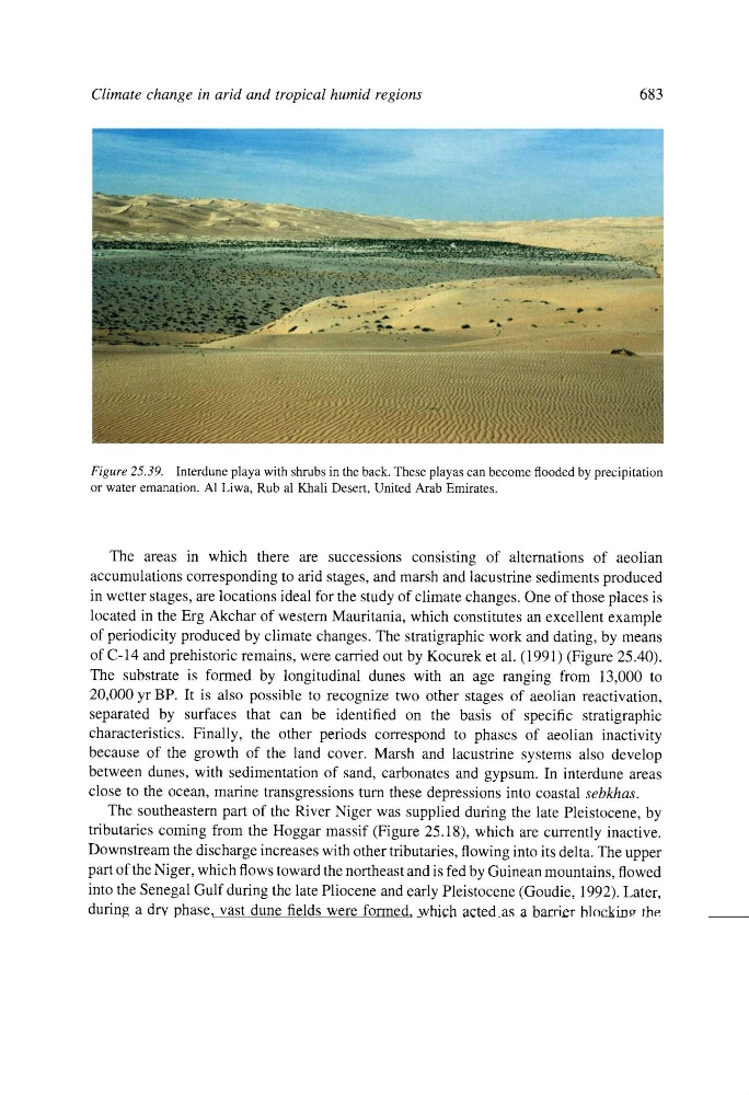
Figure 25.39. Interdune playa with shrubs in the back. These playas can become flooded by precipitation
or water emanation. A1 Liwa, Rub al Khali Desert, United Arab Emirates.
The areas in which there are successions consisting of alternations of aeolian
accumulations corresponding to arid stages, and marsh and lacustrine sediments produced
in wetter stages, are locations ideal for the study of climate changes. One of those places is
located in the Erg Akchar of western Mauritania, which constitutes an excellent example
of periodicity produced by climate changes. The stratigraphic work and dating, by means
of C-14 and prehistoric remains, were carried out by Kocurek et al. (1991) (Figure 25.40).
The substrate is formed by longitudinal dunes with an age ranging from 13,000 to
20,000 yr BP. It is also possible to recognize two other stages of aeolian reactivation,
separated by surfaces that can be identified on the basis of specific stratigraphic
characteristics. Finally, the other periods correspond to phases of aeolian inactivity
because of the growth of the land cover. Marsh and lacustrine systems also develop
between dunes, with sedimentation of sand, carbonates and gypsum. In interdune areas
close to the ocean, marine transgressions turn these depressions into coastal sebkhas.
The southeastern part of the River Niger was supplied during the late Pleistocene, by
tributaries coming from the Hoggar massif (Figure 25.18), which are currently inactive.
Downstream the discharge increases with other tributaries, flowing into its delta. The upper
part of the Niger, which flows toward the northeast and is fed by Guinean mountains, flowed
into the Senegal Gulf during the late Pliocene and early Pleistocene (Goudie, 1992). Later,
during a dry phase, vast dune fields were formed, which acted as a barrier blocking the
former watercourse (Tricart, 1979). As a result, many ephemeral lakes were generated.
After that, by capture or overflowing, this part of the river flowed into the Niger, forming a
wide bend in the region of Timbuktu, Mali. This capture occurred 5000 to 6000 years ago.
The River Niger, during dry phases, was incapable of going through the extensive dunes and
disappeared inside and into the zone of lakes located in southern Timbuktu. In "pluvial"