

Climate change in glacial and periglacial regions
623
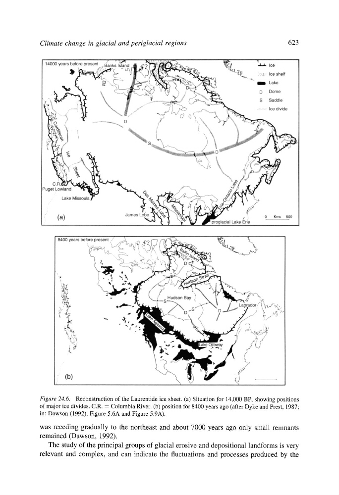
Figure 24.6. Reconstruction of the Laurentide ice sheet. (a) Situation for 14,000 BP, showing positions
of major ice divides. C.R. = Columbia River. (b) position for 8400 years ago (after Dyke and Prest, 1987;
in: Dawson (1992), Figure 5.6A and Figure 5.9A).
was receding gradually to the northeast and about 7000 years ago only small remnants
remained (Dawson, 1992).
The study of the principal groups of glacial erosive and depositional landforms is very
relevant and complex, and can indicate the fluctuations and processes produced by the