

214
Climatic Geomorphology
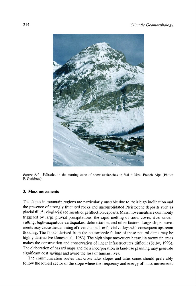
Figure 9.4. Palisades in the starting zone of snow avalanches in Val d'Isbre, French Alps (Photo:
F. Guti6rrez).
3. Mass movements
The slopes in mountain regions are particularly unstable due to their high inclination and
the presence of strongly fractured rocks and unconsolidated Pleistocene deposits such as
glacial till, fluvioglacial sediments or gelifluction deposits. Mass movements are commonly
triggered by large pluvial precipitations, the rapid melting of snow cover, river undercutting, high-magnitude earthquakes, deforestation, and other factors. Large slope movements may cause the damming of fiver channels or fluvial valleys with consequent upstream
flooding. The floods derived from the catastrophic failure of these natural dams may be
highly destructive (Jones et al., 1983). The high slope movement hazard in mountain areas
makes the construction and conservation of linear infrastructures difficult (Selby, 1993).
The elaboration of hazard maps and their incorporation in land-use planning may generate
significant cost savings and avoid the loss of human lives.
The communication routes that cross talus slopes and talus cones should preferably
follow the lowest sector of the slope where the frequency and energy of mass movements
Climatic Geomorphology
Figure 9.4. Palisades in the starting zone of snow avalanches in Val d'Isbre, French Alps (Photo:
F. Guti6rrez).
3. Mass movements
The slopes in mountain regions are particularly unstable due to their high inclination and
the presence of strongly fractured rocks and unconsolidated Pleistocene deposits such as
glacial till, fluvioglacial sediments or gelifluction deposits. Mass movements are commonly
triggered by large pluvial precipitations, the rapid melting of snow cover, river undercutting, high-magnitude earthquakes, deforestation, and other factors. Large slope movements may cause the damming of fiver channels or fluvial valleys with consequent upstream
flooding. The floods derived from the catastrophic failure of these natural dams may be
highly destructive (Jones et al., 1983). The high slope movement hazard in mountain areas
makes the construction and conservation of linear infrastructures difficult (Selby, 1993).
The elaboration of hazard maps and their incorporation in land-use planning may generate
significant cost savings and avoid the loss of human lives.
The communication routes that cross talus slopes and talus cones should preferably
follow the lowest sector of the slope where the frequency and energy of mass movements