

& [0–1[ Very high (sensitivity/pressure), represented by the
red color
& [1–2[ High (sensitivity/pressure), represented by the orange color
& [2–3[ Medium (sensitivity/pressure), represented by the
yellow color
& [3–4[ Low (sensitivity/pressure), represented by the color
green
& [4–5] Very low (sensitivity/pressure), represented by the
blue color
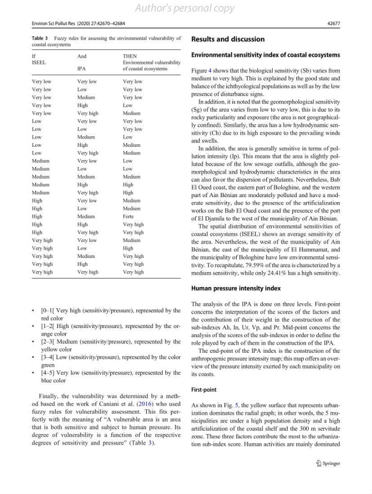
Finally, the vulnerability was determined by a method based on the work of Caniani et al. (2016) who used
fuzzy rules for vulnerability assessment. This fits perfectly with the meaning of “A vulnerable area is an area
that is both sensitive and subject to human pressure. Its
degree of vulnerability is a function of the respective
degrees of sensitivity and pressure” (Table 3).
Results and discussion
Environmental sensitivity index of coastal ecosystems
Figure 4 shows that the biological sensitivity (Sb) varies from
medium to very high. This is explained by the good state and
balance of the ichthyological populations as well as by the low
presence of disturbance signs.
In addition, it is noted that the geomorphological sensitivity
(Sg) of the area varies from low to very low, this is due to its
rocky particularity and exposure (the area is not geographically confined). Similarly, the area has a low hydrodynamic sensitivity (Ch) due to its high exposure to the prevailing winds
and swells.
In addition, the area is generally sensitive in terms of pollution intensity (Ip). This means that the area is slightly polluted because of the low sewage outfalls, although the geomorphological and hydrodynamic characteristics in the area
can also favor the dispersion of pollutants. Nevertheless, Bab
El Oued coast, the eastern part of Bologhine, and the western
part of Ain Bénian are moderately polluted and have a moderate sensitivity, due to the presence of the artificialization
works on the Bab El Oued coast and the presence of the port
of El Djamila to the west of the municipality of Ain Bénian.
The spatial distribution of environmental sensitivities of
coastal ecosystems (ISEEL) shows an average sensitivity of
the area. Nevertheless, the west of the municipality of Ain
Bénian, the east of the municipality of El Hammamat, and
the municipality of Bologhine have low environmental sensitivity. To recapitulate, 79.59% of the area is characterized by a
medium sensitivity, while only 24.41% has a high sensitivity.
Human pressure intensity index
The analysis of the IPA is done on three levels. First-point
concerns the interpretation of the scores of the factors and
the contribution of their weight in the construction of the
sub-indexes Ah, In, Ur, Vp, and Pr. Mid-point concerns the
analysis of the scores of the sub-indexes in order to define the
role played by each of them in the construction of the IPA.
The end-point of the IPA index is the construction of the
anthropogenic pressure intensity map; this map offers an overview of the pressure intensity exerted by each municipality on
its coasts.
First-point
As shown in Fig. 5, the yellow surface that represents urbanization dominates the radial graph; in other words, the 5 municipalities are under a high population density and a high
artificialization of the coastal shelf and the 300 m servitude
zone. These three factors contribute the most to the urbanization sub-index score. Human activities are mainly dominated
Table 3 Fuzzy rules for assessing the environmental vulnerability of
coastal ecosystems
If
And
THEN
ISEEL
IPA
Environmental vulnerability
of coastal ecosystems
Very low
Very low
Very low
Very low
Low
Very low
Very low
Medium
Very low
Very low
High
Low
Very low
Very high
Medium
Low
Very low
Very low
Low
Low
Very low
Low
Medium
Low
Low
High
Medium
Low
Very high
Medium
Medium
Very low
Low
Medium
Low
Low
Medium
Medium
Medium
Medium
High
High
Medium
Very high
High
High
Very low
Medium
High
Low
Medium
High
Medium
Forte
High
High
Very high
High
Very high
Very high
Very high
Very low
Medium
Very high
Low
High
Very high
Medium
Very high
Very high
High
Very high
Very high
Very high
Very high
42677
Environ Sci Pollut Res (2020) 27:42670–42684
Author's personal copy
red color
& [1–2[ High (sensitivity/pressure), represented by the orange color
& [2–3[ Medium (sensitivity/pressure), represented by the
yellow color
& [3–4[ Low (sensitivity/pressure), represented by the color
green
& [4–5] Very low (sensitivity/pressure), represented by the
blue color
Finally, the vulnerability was determined by a method based on the work of Caniani et al. (2016) who used
fuzzy rules for vulnerability assessment. This fits perfectly with the meaning of “A vulnerable area is an area
that is both sensitive and subject to human pressure. Its
degree of vulnerability is a function of the respective
degrees of sensitivity and pressure” (Table 3).
Results and discussion
Environmental sensitivity index of coastal ecosystems
Figure 4 shows that the biological sensitivity (Sb) varies from
medium to very high. This is explained by the good state and
balance of the ichthyological populations as well as by the low
presence of disturbance signs.
In addition, it is noted that the geomorphological sensitivity
(Sg) of the area varies from low to very low, this is due to its
rocky particularity and exposure (the area is not geographically confined). Similarly, the area has a low hydrodynamic sensitivity (Ch) due to its high exposure to the prevailing winds
and swells.
In addition, the area is generally sensitive in terms of pollution intensity (Ip). This means that the area is slightly polluted because of the low sewage outfalls, although the geomorphological and hydrodynamic characteristics in the area
can also favor the dispersion of pollutants. Nevertheless, Bab
El Oued coast, the eastern part of Bologhine, and the western
part of Ain Bénian are moderately polluted and have a moderate sensitivity, due to the presence of the artificialization
works on the Bab El Oued coast and the presence of the port
of El Djamila to the west of the municipality of Ain Bénian.
The spatial distribution of environmental sensitivities of
coastal ecosystems (ISEEL) shows an average sensitivity of
the area. Nevertheless, the west of the municipality of Ain
Bénian, the east of the municipality of El Hammamat, and
the municipality of Bologhine have low environmental sensitivity. To recapitulate, 79.59% of the area is characterized by a
medium sensitivity, while only 24.41% has a high sensitivity.
Human pressure intensity index
The analysis of the IPA is done on three levels. First-point
concerns the interpretation of the scores of the factors and
the contribution of their weight in the construction of the
sub-indexes Ah, In, Ur, Vp, and Pr. Mid-point concerns the
analysis of the scores of the sub-indexes in order to define the
role played by each of them in the construction of the IPA.
The end-point of the IPA index is the construction of the
anthropogenic pressure intensity map; this map offers an overview of the pressure intensity exerted by each municipality on
its coasts.
First-point
As shown in Fig. 5, the yellow surface that represents urbanization dominates the radial graph; in other words, the 5 municipalities are under a high population density and a high
artificialization of the coastal shelf and the 300 m servitude
zone. These three factors contribute the most to the urbanization sub-index score. Human activities are mainly dominated
Table 3 Fuzzy rules for assessing the environmental vulnerability of
coastal ecosystems
If
And
THEN
ISEEL
IPA
Environmental vulnerability
of coastal ecosystems
Very low
Very low
Very low
Very low
Low
Very low
Very low
Medium
Very low
Very low
High
Low
Very low
Very high
Medium
Low
Very low
Very low
Low
Low
Very low
Low
Medium
Low
Low
High
Medium
Low
Very high
Medium
Medium
Very low
Low
Medium
Low
Low
Medium
Medium
Medium
Medium
High
High
Medium
Very high
High
High
Very low
Medium
High
Low
Medium
High
Medium
Forte
High
High
Very high
High
Very high
Very high
Very high
Very low
Medium
Very high
Low
High
Very high
Medium
Very high
Very high
High
Very high
Very high
Very high
Very high
42677
Environ Sci Pollut Res (2020) 27:42670–42684
Author's personal copy