

90
W. Y. B. Chang
and play an important role in flood control, fishing and aquacultural production, supplying drinking and irrigation water,
transportation, and recreation. Large increases in urbanization over the last 40 years and accelerated industrial development since the 1980s have greatly extended the uses of the
great lake environment in the Pacific Drainage Basin (PDB).
Under the market-based economy, such uses have rapidly
changed lake physical environments and increased the complexity of managing these aquatic environments (Chang
1993, 1996). This chapter reports on trends and changes at
the five great lakes situated in the PDB and the current challenges being faced in the management of these lakes.
8.2 Distribution, Origins, and General
Characteristics
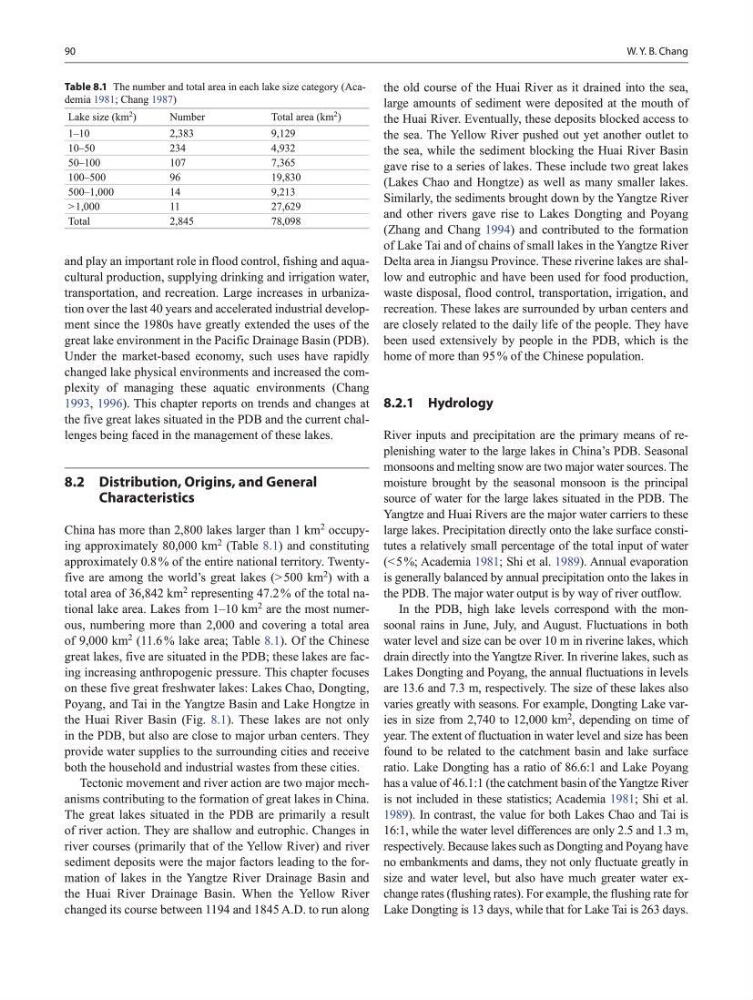
China has more than 2,800 lakes larger than 1 km
2
occupying approximately 80,000 km
2
(Table 8.1) and constituting
approximately 0.8 % of the entire national territory. Twentyfive are among the world’s great lakes (> 500 km
2
) with a
total area of 36,842 km
2
representing 47.2 % of the total national lake area. Lakes from 1–10 km
2
are the most numerous, numbering more than 2,000 and covering a total area
of 9,000 km
2
(11.6 % lake area; Table 8.1). Of the Chinese
great lakes, five are situated in the PDB; these lakes are facing increasing anthropogenic pressure. This chapter focuses
on these five great freshwater lakes: Lakes Chao, Dongting,
Poyang, and Tai in the Yangtze Basin and Lake Hongtze in
the Huai River Basin (Fig. 8.1). These lakes are not only
in the PDB, but also are close to major urban centers. They
provide water supplies to the surrounding cities and receive
both the household and industrial wastes from these cities.
Tectonic movement and river action are two major mechanisms contributing to the formation of great lakes in China.
The great lakes situated in the PDB are primarily a result
of river action. They are shallow and eutrophic. Changes in
river courses (primarily that of the Yellow River) and river
sediment deposits were the major factors leading to the formation of lakes in the Yangtze River Drainage Basin and
the Huai River Drainage Basin. When the Yellow River
changed its course between 1194 and 1845 A.D. to run along
the old course of the Huai River as it drained into the sea,
large amounts of sediment were deposited at the mouth of
the Huai River. Eventually, these deposits blocked access to
the sea. The Yellow River pushed out yet another outlet to
the sea, while the sediment blocking the Huai River Basin
gave rise to a series of lakes. These include two great lakes
(Lakes Chao and Hongtze) as well as many smaller lakes.
Similarly, the sediments brought down by the Yangtze River
and other rivers gave rise to Lakes Dongting and Poyang
(Zhang and Chang 1994) and contributed to the formation
of Lake Tai and of chains of small lakes in the Yangtze River
Delta area in Jiangsu Province. These riverine lakes are shallow and eutrophic and have been used for food production,
waste disposal, flood control, transportation, irrigation, and
recreation. These lakes are surrounded by urban centers and
are closely related to the daily life of the people. They have
been used extensively by people in the PDB, which is the
home of more than 95 % of the Chinese population.
8.2.1 Hydrology
River inputs and precipitation are the primary means of replenishing water to the large lakes in China’s PDB. Seasonal
monsoons and melting snow are two major water sources. The
moisture brought by the seasonal monsoon is the principal
source of water for the large lakes situated in the PDB. The
Yangtze and Huai Rivers are the major water carriers to these
large lakes. Precipitation directly onto the lake surface constitutes a relatively small percentage of the total input of water
(< 5 %; Academia 1981; Shi et al. 1989). Annual evaporation
is generally balanced by annual precipitation onto the lakes in
the PDB. The major water output is by way of river outflow.
In the PDB, high lake levels correspond with the monsoonal rains in June, July, and August. Fluctuations in both
water level and size can be over 10 m in riverine lakes, which
drain directly into the Yangtze River. In riverine lakes, such as
Lakes Dongting and Poyang, the annual fluctuations in levels
are 13.6 and 7.3 m, respectively. The size of these lakes also
varies greatly with seasons. For example, Dongting Lake varies in size from 2,740 to 12,000 km
2
, depending on time of
year. The extent of fluctuation in water level and size has been
found to be related to the catchment basin and lake surface
ratio. Lake Dongting has a ratio of 86.6:1 and Lake Poyang
has a value of 46.1:1 (the catchment basin of the Yangtze River
is not included in these statistics; Academia 1981; Shi et al.
1989). In contrast, the value for both Lakes Chao and Tai is
16:1, while the water level differences are only 2.5 and 1.3 m,
respectively. Because lakes such as Dongting and Poyang have
no embankments and dams, they not only fluctuate greatly in
size and water level, but also have much greater water exchange rates (flushing rates). For example, the flushing rate for
Lake Dongting is 13 days, while that for Lake Tai is 263 days.
Table 8.1 The number and total area in each lake size category (Academia 1981; Chang 1987)
Lake size (km 2 )
Number
Total area (km
2
)
1–10
2,383
9,129
10–50
234
4,932
50–100
107
7,365
100–500
96
19,830
500–1,000
14
9,213
> 1,000
11
27,629
Total
2,845
78,098
W. Y. B. Chang
and play an important role in flood control, fishing and aquacultural production, supplying drinking and irrigation water,
transportation, and recreation. Large increases in urbanization over the last 40 years and accelerated industrial development since the 1980s have greatly extended the uses of the
great lake environment in the Pacific Drainage Basin (PDB).
Under the market-based economy, such uses have rapidly
changed lake physical environments and increased the complexity of managing these aquatic environments (Chang
1993, 1996). This chapter reports on trends and changes at
the five great lakes situated in the PDB and the current challenges being faced in the management of these lakes.
8.2 Distribution, Origins, and General
Characteristics
China has more than 2,800 lakes larger than 1 km
2
occupying approximately 80,000 km
2
(Table 8.1) and constituting
approximately 0.8 % of the entire national territory. Twentyfive are among the world’s great lakes (> 500 km
2
) with a
total area of 36,842 km
2
representing 47.2 % of the total national lake area. Lakes from 1–10 km
2
are the most numerous, numbering more than 2,000 and covering a total area
of 9,000 km
2
(11.6 % lake area; Table 8.1). Of the Chinese
great lakes, five are situated in the PDB; these lakes are facing increasing anthropogenic pressure. This chapter focuses
on these five great freshwater lakes: Lakes Chao, Dongting,
Poyang, and Tai in the Yangtze Basin and Lake Hongtze in
the Huai River Basin (Fig. 8.1). These lakes are not only
in the PDB, but also are close to major urban centers. They
provide water supplies to the surrounding cities and receive
both the household and industrial wastes from these cities.
Tectonic movement and river action are two major mechanisms contributing to the formation of great lakes in China.
The great lakes situated in the PDB are primarily a result
of river action. They are shallow and eutrophic. Changes in
river courses (primarily that of the Yellow River) and river
sediment deposits were the major factors leading to the formation of lakes in the Yangtze River Drainage Basin and
the Huai River Drainage Basin. When the Yellow River
changed its course between 1194 and 1845 A.D. to run along
the old course of the Huai River as it drained into the sea,
large amounts of sediment were deposited at the mouth of
the Huai River. Eventually, these deposits blocked access to
the sea. The Yellow River pushed out yet another outlet to
the sea, while the sediment blocking the Huai River Basin
gave rise to a series of lakes. These include two great lakes
(Lakes Chao and Hongtze) as well as many smaller lakes.
Similarly, the sediments brought down by the Yangtze River
and other rivers gave rise to Lakes Dongting and Poyang
(Zhang and Chang 1994) and contributed to the formation
of Lake Tai and of chains of small lakes in the Yangtze River
Delta area in Jiangsu Province. These riverine lakes are shallow and eutrophic and have been used for food production,
waste disposal, flood control, transportation, irrigation, and
recreation. These lakes are surrounded by urban centers and
are closely related to the daily life of the people. They have
been used extensively by people in the PDB, which is the
home of more than 95 % of the Chinese population.
8.2.1 Hydrology
River inputs and precipitation are the primary means of replenishing water to the large lakes in China’s PDB. Seasonal
monsoons and melting snow are two major water sources. The
moisture brought by the seasonal monsoon is the principal
source of water for the large lakes situated in the PDB. The
Yangtze and Huai Rivers are the major water carriers to these
large lakes. Precipitation directly onto the lake surface constitutes a relatively small percentage of the total input of water
(< 5 %; Academia 1981; Shi et al. 1989). Annual evaporation
is generally balanced by annual precipitation onto the lakes in
the PDB. The major water output is by way of river outflow.
In the PDB, high lake levels correspond with the monsoonal rains in June, July, and August. Fluctuations in both
water level and size can be over 10 m in riverine lakes, which
drain directly into the Yangtze River. In riverine lakes, such as
Lakes Dongting and Poyang, the annual fluctuations in levels
are 13.6 and 7.3 m, respectively. The size of these lakes also
varies greatly with seasons. For example, Dongting Lake varies in size from 2,740 to 12,000 km
2
, depending on time of
year. The extent of fluctuation in water level and size has been
found to be related to the catchment basin and lake surface
ratio. Lake Dongting has a ratio of 86.6:1 and Lake Poyang
has a value of 46.1:1 (the catchment basin of the Yangtze River
is not included in these statistics; Academia 1981; Shi et al.
1989). In contrast, the value for both Lakes Chao and Tai is
16:1, while the water level differences are only 2.5 and 1.3 m,
respectively. Because lakes such as Dongting and Poyang have
no embankments and dams, they not only fluctuate greatly in
size and water level, but also have much greater water exchange rates (flushing rates). For example, the flushing rate for
Lake Dongting is 13 days, while that for Lake Tai is 263 days.
Table 8.1 The number and total area in each lake size category (Academia 1981; Chang 1987)
Lake size (km 2 )
Number
Total area (km
2
)
1–10
2,383
9,129
10–50
234
4,932
50–100
107
7,365
100–500
96
19,830
500–1,000
14
9,213
> 1,000
11
27,629
Total
2,845
78,098