

linkages in a locally appropriate manner to users who, in some cases, are unfamiliar
with visualizing spatial patterns.
Building upon cartographic principles, researchers can devise an appropriate
display to effectively communicate remotely sensed information (Veitayaki, 1998).
Cartography as a practice is almost second nature to image analysts. It is a form of
communication that presents locations and environmental features with scaled spatial
proximities in a two-dimensional structure (Bartels and Beurden, 1998). In essence,
maps or images are conceived as elements in a process of communication that involves
both the mapmaker and map user (Eckert, 1977). The role of cartography in
communicating remotely sensed information is rooted in the mapmakers’ ability to
express features in a solid, generally accepted visual representation that promotes
successful comprehension by the user. Basic elements that include symbology, classes
and class boundaries, colors, scale and projection, and basic map features (Bartels and
Beurden, 1998) are used to express information to the user in a social-culturally
appropriate manner. For this discussion, the critical concepts are ‘generally acceptable’
and ‘culturally appropriate’. This means that several culturally relevant issues should be
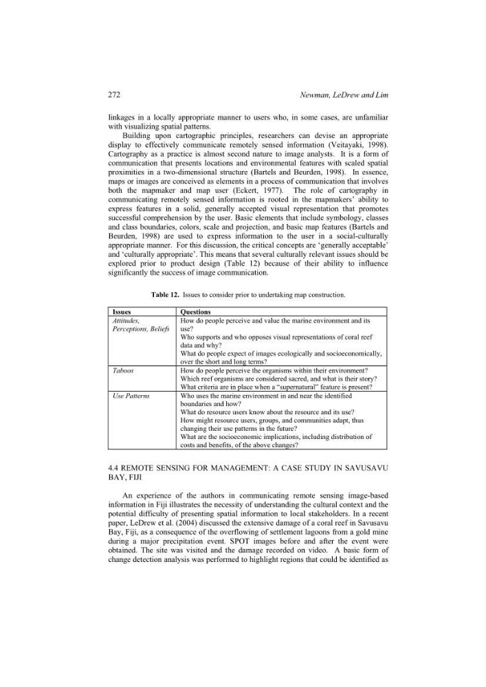
explored prior to product design (Table 12) because of their ability to influence
significantly the success of image communication.
Table 12. Issues to consider prior to undertaking map construction.
Issues
Questions
Attitudes,
Perceptions, Beliefs
How do people perceive and value the marine environment and its
use?
Who supports and who opposes visual representations of coral reef
data and why?
What do people expect of images ecologically and socioeconomically,
over the short and long terms?
Taboos
How do people perceive the organisms within their environment?
Which reef organisms are considered sacred, and what is their story?
What criteria are in place when a “supernatural” feature is present?
Use Patterns
Who uses the marine environment in and near the identified
boundaries and how?
What do resource users know about the resource and its use?
How might resource users, groups, and communities adapt, thus
changing their use patterns in the future?
What are the socioeconomic implications, including distribution of
costs and benefits, of the above changes?
4.4 REMOTE SENSING FOR MANAGEMENT: A CASE STUDY IN SAVUSAVU
BAY, FIJI
An experience of the authors in communicating remote sensing image-based
information in Fiji illustrates the necessity of understanding the cultural context and the
potential difficulty of presenting spatial information to local stakeholders. In a recent
paper, LeDrew et al. (2004) discussed the extensive damage of a coral reef in Savusavu
Bay, Fiji, as a consequence of the overflowing of settlement lagoons from a gold mine
during a major precipitation event. SPOT images before and after the event were
obtained. The site was visited and the damage recorded on video. A basic form of
change detection analysis was performed to highlight regions that could be identified as
272
Newman, LeDrew and Lim
with visualizing spatial patterns.
Building upon cartographic principles, researchers can devise an appropriate
display to effectively communicate remotely sensed information (Veitayaki, 1998).
Cartography as a practice is almost second nature to image analysts. It is a form of
communication that presents locations and environmental features with scaled spatial
proximities in a two-dimensional structure (Bartels and Beurden, 1998). In essence,
maps or images are conceived as elements in a process of communication that involves
both the mapmaker and map user (Eckert, 1977). The role of cartography in
communicating remotely sensed information is rooted in the mapmakers’ ability to
express features in a solid, generally accepted visual representation that promotes
successful comprehension by the user. Basic elements that include symbology, classes
and class boundaries, colors, scale and projection, and basic map features (Bartels and
Beurden, 1998) are used to express information to the user in a social-culturally
appropriate manner. For this discussion, the critical concepts are ‘generally acceptable’
and ‘culturally appropriate’. This means that several culturally relevant issues should be
explored prior to product design (Table 12) because of their ability to influence
significantly the success of image communication.
Table 12. Issues to consider prior to undertaking map construction.
Issues
Questions
Attitudes,
Perceptions, Beliefs
How do people perceive and value the marine environment and its
use?
Who supports and who opposes visual representations of coral reef
data and why?
What do people expect of images ecologically and socioeconomically,
over the short and long terms?
Taboos
How do people perceive the organisms within their environment?
Which reef organisms are considered sacred, and what is their story?
What criteria are in place when a “supernatural” feature is present?
Use Patterns
Who uses the marine environment in and near the identified
boundaries and how?
What do resource users know about the resource and its use?
How might resource users, groups, and communities adapt, thus
changing their use patterns in the future?
What are the socioeconomic implications, including distribution of
costs and benefits, of the above changes?
4.4 REMOTE SENSING FOR MANAGEMENT: A CASE STUDY IN SAVUSAVU
BAY, FIJI
An experience of the authors in communicating remote sensing image-based
information in Fiji illustrates the necessity of understanding the cultural context and the
potential difficulty of presenting spatial information to local stakeholders. In a recent
paper, LeDrew et al. (2004) discussed the extensive damage of a coral reef in Savusavu
Bay, Fiji, as a consequence of the overflowing of settlement lagoons from a gold mine
during a major precipitation event. SPOT images before and after the event were
obtained. The site was visited and the damage recorded on video. A basic form of
change detection analysis was performed to highlight regions that could be identified as
272
Newman, LeDrew and Lim