

centimeter
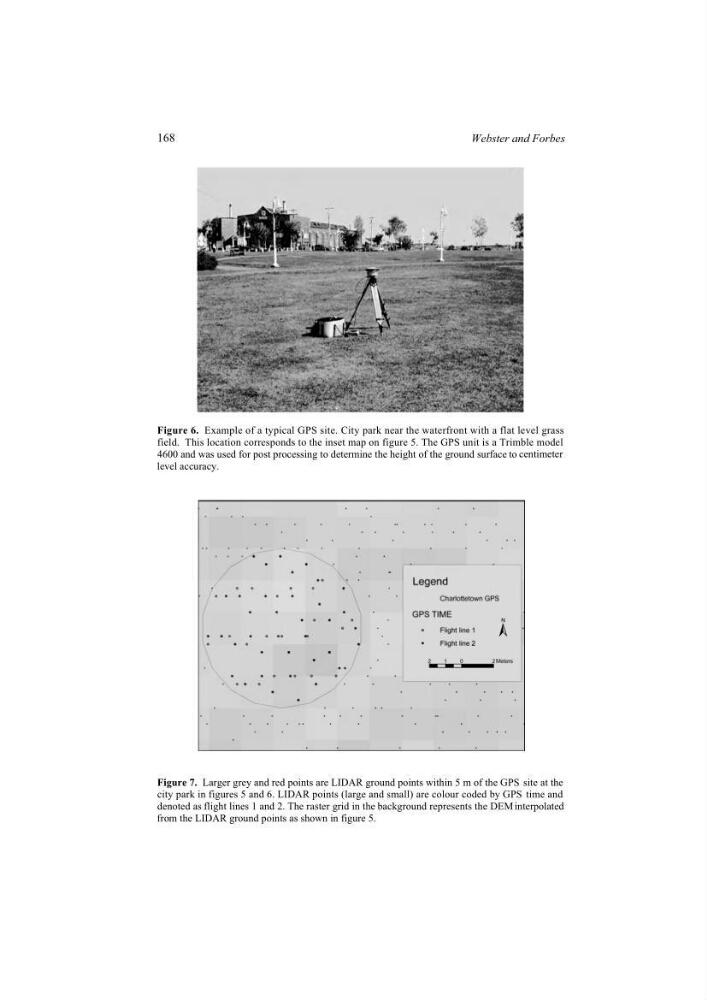
level accuracy.
interpolated
from the LIDAR ground points as shown in figure 5.
Figure 6. Example of a typical GPS site. City park near the waterfront with a flat level grass
field. This location corresponds to the inset map on figure 5. The GPS unit is a Trimble model
4600 and was used for post processing to determine the height of the ground surface to
Figure 7. Larger grey and red points are LIDAR ground points within 5 m of the GPS site at the
city park in figures 5 and 6. LIDAR points (large and small) are colour coded by GPS time and
denoted as flight lines 1 and 2. The raster grid in the background represents the DEM
168
Webster and Forbes
level accuracy.
interpolated
from the LIDAR ground points as shown in figure 5.
Figure 6. Example of a typical GPS site. City park near the waterfront with a flat level grass
field. This location corresponds to the inset map on figure 5. The GPS unit is a Trimble model
4600 and was used for post processing to determine the height of the ground surface to
Figure 7. Larger grey and red points are LIDAR ground points within 5 m of the GPS site at the
city park in figures 5 and 6. LIDAR points (large and small) are colour coded by GPS time and
denoted as flight lines 1 and 2. The raster grid in the background represents the DEM
168
Webster and Forbes