

described in this chapter are fairly new, there are not many specific examples of
their application to coral reef remote sensing. Nonetheless, a number of the primary datasets for developing these techniques were collected in areas with coral
reefs because of their diverse bottom features, and the examples provided herein
are from these areas: Ft. Lauderdale, FL, Looe Key, FL, and Hilo Bay, HI.
7.2 LiDAR/Hyperspectral Processing
7.2.1 SIT Data Fusion Model
The SIT data fusion model was created by modifying and combining two existing
general data fusion models (Abidi and Gonsalves 1992; Hall 1992) to create a single
model that is specifically applicable to fusion of remote sensing data for benthic
mapping (Tuell and Lohrenz 2006). The model is named for the constituent axes that
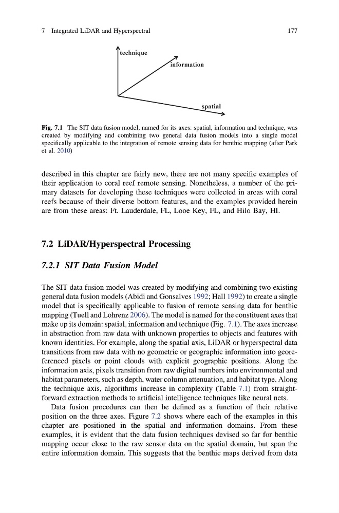
make up its domain: spatial, information and technique (Fig. 7.1). The axes increase
in abstraction from raw data with unknown properties to objects and features with
known identities. For example, along the spatial axis, LiDAR or hyperspectral data
transitions from raw data with no geometric or geographic information into georeferenced pixels or point clouds with explicit geographic positions. Along the
information axis, pixels transition from raw digital numbers into environmental and
habitat parameters, such as depth, water column attenuation, and habitat type. Along
the technique axis, algorithms increase in complexity (Table 7.1) from straightforward extraction methods to artificial intelligence techniques like neural nets.
Data fusion procedures can then be defined as a function of their relative
position on the three axes. Figure 7.2 shows where each of the examples in this
chapter are positioned in the spatial and information domains. From these
examples, it is evident that the data fusion techniques devised so far for benthic
mapping occur close to the raw sensor data on the spatial domain, but span the
entire information domain. This suggests that the benthic maps derived from data
Fig. 7.1 The SIT data fusion model, named for its axes: spatial, information and technique, was
created by modifying and combining two general data fusion models into a single model
specifically applicable to the integration of remote sensing data for benthic mapping (after Park
et al. 2010)
7 Integrated LiDAR and Hyperspectral
177
their application to coral reef remote sensing. Nonetheless, a number of the primary datasets for developing these techniques were collected in areas with coral
reefs because of their diverse bottom features, and the examples provided herein
are from these areas: Ft. Lauderdale, FL, Looe Key, FL, and Hilo Bay, HI.
7.2 LiDAR/Hyperspectral Processing
7.2.1 SIT Data Fusion Model
The SIT data fusion model was created by modifying and combining two existing
general data fusion models (Abidi and Gonsalves 1992; Hall 1992) to create a single
model that is specifically applicable to fusion of remote sensing data for benthic
mapping (Tuell and Lohrenz 2006). The model is named for the constituent axes that
make up its domain: spatial, information and technique (Fig. 7.1). The axes increase
in abstraction from raw data with unknown properties to objects and features with
known identities. For example, along the spatial axis, LiDAR or hyperspectral data
transitions from raw data with no geometric or geographic information into georeferenced pixels or point clouds with explicit geographic positions. Along the
information axis, pixels transition from raw digital numbers into environmental and
habitat parameters, such as depth, water column attenuation, and habitat type. Along
the technique axis, algorithms increase in complexity (Table 7.1) from straightforward extraction methods to artificial intelligence techniques like neural nets.
Data fusion procedures can then be defined as a function of their relative
position on the three axes. Figure 7.2 shows where each of the examples in this
chapter are positioned in the spatial and information domains. From these
examples, it is evident that the data fusion techniques devised so far for benthic
mapping occur close to the raw sensor data on the spatial domain, but span the
entire information domain. This suggests that the benthic maps derived from data
Fig. 7.1 The SIT data fusion model, named for its axes: spatial, information and technique, was
created by modifying and combining two general data fusion models into a single model
specifically applicable to the integration of remote sensing data for benthic mapping (after Park
et al. 2010)
7 Integrated LiDAR and Hyperspectral
177