

and other reasons, visual interpretation of (uncalibrated) radar imagery can only
make a qualitative assessment of discrete tonal elements by detecting, identifying
and recognizing light or dark levels of grey tones. Image tone, or density, may be
described in a qualitative manner by means of grey tone scales, similar to those used
for air photo interpretation. These can be combined with texture scales. An effective procedure may consist of three steps. First, the range of grey tones for a
particular surface category must be assessed. Secondly, a number of individual
features are identified by means of field check or other sources of information, using
these features as a reference for the tonal classification; other features of the same
category can then be interpreted.
14.7.2 Texture
Texture is of similar importance for the identification, mapping and classification
process, particularly for geologic and vegetation mapping. Texture is defined as the
spatial pattern or frequency of tonal variation within a particular area. It is produced
by an assembly of features too small to be identified individually. Like contrast in
grey tones, contrast in image texture, or speckle for that matter, allow for the
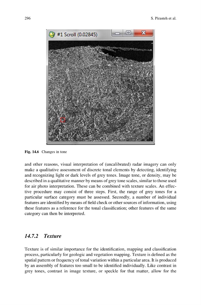
Fig. 14.6 Changes in tone
296
S. Pirasteh et al.
make a qualitative assessment of discrete tonal elements by detecting, identifying
and recognizing light or dark levels of grey tones. Image tone, or density, may be
described in a qualitative manner by means of grey tone scales, similar to those used
for air photo interpretation. These can be combined with texture scales. An effective procedure may consist of three steps. First, the range of grey tones for a
particular surface category must be assessed. Secondly, a number of individual
features are identified by means of field check or other sources of information, using
these features as a reference for the tonal classification; other features of the same
category can then be interpreted.
14.7.2 Texture
Texture is of similar importance for the identification, mapping and classification
process, particularly for geologic and vegetation mapping. Texture is defined as the
spatial pattern or frequency of tonal variation within a particular area. It is produced
by an assembly of features too small to be identified individually. Like contrast in
grey tones, contrast in image texture, or speckle for that matter, allow for the
Fig. 14.6 Changes in tone
296
S. Pirasteh et al.