

After the classification scheme was adopted, we carefully selected training
samples for each of the ten major categories by using several reference sources
such as the high-resolution images from Google Earth and the 2006 National Land
Cover Data (NLCD). Note that each information class listed in Table 13.1 may
include multiple spectral classes. For the information classes with multiple spectral
classes, we collected at least one training set with 25–35 pixels for each spectral
class. Specifically, eight information classes, namely, high-density urban,
low-density urban, barren or fallow land, pasture and cropland, grassland, evergreen forest, mixed forest, and water, are comprised of training data from multiple
spectral classes. For the high density urban class, training samples were collected
for three spectral classes with one for large roofs and the other two for parking lots
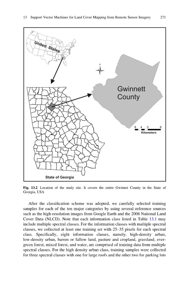
Fig. 13.2 Location of the study site. It covers the entire Gwinnet County in the State of
Georgia, USA
13 Support Vector Machines for Land Cover Mapping from Remote Sensor Imagery
271
samples for each of the ten major categories by using several reference sources
such as the high-resolution images from Google Earth and the 2006 National Land
Cover Data (NLCD). Note that each information class listed in Table 13.1 may
include multiple spectral classes. For the information classes with multiple spectral
classes, we collected at least one training set with 25–35 pixels for each spectral
class. Specifically, eight information classes, namely, high-density urban,
low-density urban, barren or fallow land, pasture and cropland, grassland, evergreen forest, mixed forest, and water, are comprised of training data from multiple
spectral classes. For the high density urban class, training samples were collected
for three spectral classes with one for large roofs and the other two for parking lots
Fig. 13.2 Location of the study site. It covers the entire Gwinnet County in the State of
Georgia, USA
13 Support Vector Machines for Land Cover Mapping from Remote Sensor Imagery
271