

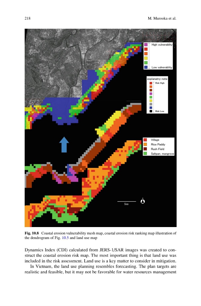
Dynamics Index (CDI) calculated from JERS-1/SAR images was created to construct the coastal erosion risk map. The most important thing is that land use was
included in the risk assessment. Land use is a key matter to consider in mitigation.
In Vietnam, the land use planning resembles forecasting. The plan targets are
realistic and feasible, but it may not be favorable for water resources management
Fig. 10.8 Coastal erosion vulnerability mesh map, coastal erosion risk ranking map illustration of
the dendrogram of Fig. 10.5 and land use map
218
M. Murooka et al.
included in the risk assessment. Land use is a key matter to consider in mitigation.
In Vietnam, the land use planning resembles forecasting. The plan targets are
realistic and feasible, but it may not be favorable for water resources management
Fig. 10.8 Coastal erosion vulnerability mesh map, coastal erosion risk ranking map illustration of
the dendrogram of Fig. 10.5 and land use map
218
M. Murooka et al.