

56
interest (e.g., for establishing relationships to forest biomass), then increasing that
to 8 points per m
2
is beneficial.
Standard Raster Products
Interpolation of Elevation Surfaces
The resolution at which the raster surface can be interpolated to is dependent on the
density of returns that define the surface. Using the Nyquist rate, the density of
returns to accurately sample the surface needs to be twice the resolution of the surface being produced to ensure all features are completely represented. However, as
the ground return density varies across the scene, a compromise is usually made.
A common requirement for a DTM is that it is hydraulically correct in that it
contains no holes or artificial troughs. To ensure hydraulic correctness, algorithms
for filling DTM holes are applied and additional information such as break lines
(e.g., river shore) can also be included in the interpolation processing.
There are many interpolation algorithms available for the generation of elevation
surfaces from point cloud files including Natural Neighbour, Thin Plated Splines,
Nearest Neighbour, Linear Triangulation and Inverse Distance Weighted. Bater and
Coops (2009) compared a number of these algorithms and demonstrated, for a
vegetation- dominated environment, that the Natural Neighbour algorithm produced
high-quality results. They recommended this algorithm for general use.
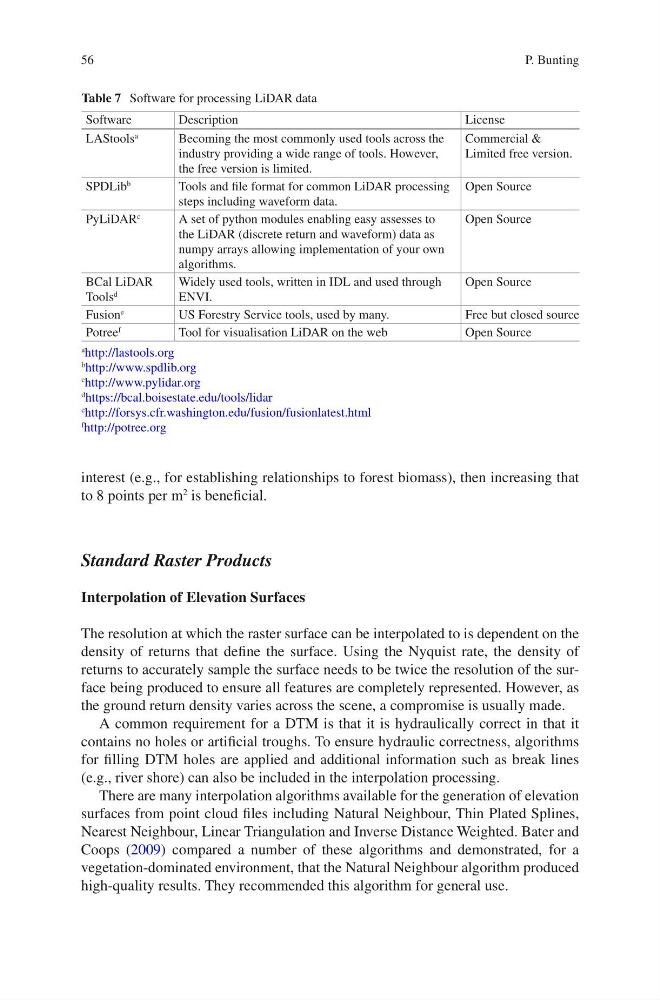
Table 7 Software for processing LiDAR data
Software
Description
License
LAStools
a
Becoming the most commonly used tools across the
industry providing a wide range of tools. However,
the free version is limited.
Commercial &
Limited free version.
SPDLib
b
Tools and file format for common LiDAR processing
steps including waveform data.
Open Source
PyLiDAR
c
A set of python modules enabling easy assesses to
the LiDAR (discrete return and waveform) data as
numpy arrays allowing implementation of your own
algorithms.
Open Source
BCal LiDAR
Tools
d
Widely used tools, written in IDL and used through
ENVI.
Open Source
Fusion
e
US Forestry Service tools, used by many.
Free but closed source
Potree
f
Tool for visualisation LiDAR on the web
Open Source
a
http://lastools.org
b http://www.spdlib.org
c
http://www.pylidar.org
d https://bcal.boisestate.edu/tools/lidar
e
http://forsys.cfr.washington.edu/fusion/fusionlatest.html
f
http://potree.org
P. Bunting
interest (e.g., for establishing relationships to forest biomass), then increasing that
to 8 points per m
2
is beneficial.
Standard Raster Products
Interpolation of Elevation Surfaces
The resolution at which the raster surface can be interpolated to is dependent on the
density of returns that define the surface. Using the Nyquist rate, the density of
returns to accurately sample the surface needs to be twice the resolution of the surface being produced to ensure all features are completely represented. However, as
the ground return density varies across the scene, a compromise is usually made.
A common requirement for a DTM is that it is hydraulically correct in that it
contains no holes or artificial troughs. To ensure hydraulic correctness, algorithms
for filling DTM holes are applied and additional information such as break lines
(e.g., river shore) can also be included in the interpolation processing.
There are many interpolation algorithms available for the generation of elevation
surfaces from point cloud files including Natural Neighbour, Thin Plated Splines,
Nearest Neighbour, Linear Triangulation and Inverse Distance Weighted. Bater and
Coops (2009) compared a number of these algorithms and demonstrated, for a
vegetation- dominated environment, that the Natural Neighbour algorithm produced
high-quality results. They recommended this algorithm for general use.
Table 7 Software for processing LiDAR data
Software
Description
License
LAStools
a
Becoming the most commonly used tools across the
industry providing a wide range of tools. However,
the free version is limited.
Commercial &
Limited free version.
SPDLib
b
Tools and file format for common LiDAR processing
steps including waveform data.
Open Source
PyLiDAR
c
A set of python modules enabling easy assesses to
the LiDAR (discrete return and waveform) data as
numpy arrays allowing implementation of your own
algorithms.
Open Source
BCal LiDAR
Tools
d
Widely used tools, written in IDL and used through
ENVI.
Open Source
Fusion
e
US Forestry Service tools, used by many.
Free but closed source
Potree
f
Tool for visualisation LiDAR on the web
Open Source
a
http://lastools.org
b http://www.spdlib.org
c
http://www.pylidar.org
d https://bcal.boisestate.edu/tools/lidar
e
http://forsys.cfr.washington.edu/fusion/fusionlatest.html
f
http://potree.org
P. Bunting