

299
Knowledge of the state and dynamics of environments requires additional information on variables that are not relevant or appropriate for land cover classification
(Table 2). These relate to the primary uses and components of the landscape, namely
agriculture and forestry (e.g., crop and timber yields), vegetation (e.g., biomass, leaf
area index), human settlements (populations), bare surfaces (e.g., soil moisture content) and water (e.g., pH, nutrient content, snow grain size or moisture content). As
such, information on the magnitudes and changes in these variables can be included
as attributes of the land cover classification and inform on current states and past
changes. Furthermore, many of these variables, as well as those used as direct input
to the LCCS-2 classification, can be modelled, which gives the capacity to generate
predicted land cover maps (and associated variables).
Whilst the concept of using environmental variables as the basis for classification
and description of land covers is logical, an issue is the practicality of obtaining
these. It is unrealistic to expect nature conservation practitioners to generate this
information themselves in order to produce land cover maps and so these need to be
made available or capacity provided to generate these. Fortunately, because of the
past and current efforts of a large number of engineers and scientists, environmental
variables are now being routinely retrieved from satellite and airborne data and
made freely available. Notable examples include those generated at the global level
from Landsat sensor 30 m data, including tree canopy cover (2000 and 2010; Hansen
et al. 2013; Sexton et al. (2013)), bare ground proportions (2010; Hansen et al. 2013),
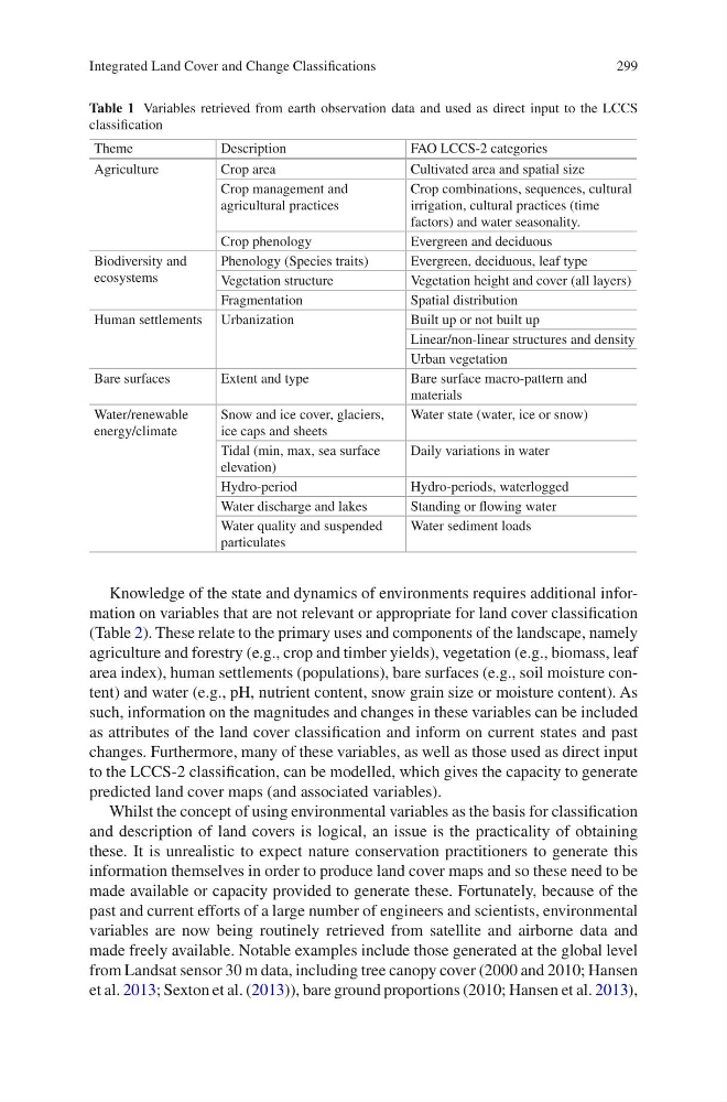
Table 1 Variables retrieved from earth observation data and used as direct input to the LCCS
classification
Theme
Description
FAO LCCS-2 categories
Agriculture
Crop area
Cultivated area and spatial size
Crop management and
agricultural practices
Crop combinations, sequences, cultural
irrigation, cultural practices (time
factors) and water seasonality.
Crop phenology
Evergreen and deciduous
Biodiversity and
ecosystems
Phenology (Species traits)
Evergreen, deciduous, leaf type
Vegetation structure
Vegetation height and cover (all layers)
Fragmentation
Spatial distribution
Human settlements Urbanization
Built up or not built up
Linear/non-linear structures and density
Urban vegetation
Bare surfaces
Extent and type
Bare surface macro-pattern and
materials
Water/renewable
energy/climate
Snow and ice cover, glaciers,
ice caps and sheets
Water state (water, ice or snow)
Tidal (min, max, sea surface
elevation)
Daily variations in water
Hydro-period
Hydro-periods, waterlogged
Water discharge and lakes
Standing or flowing water
Water quality and suspended
particulates
Water sediment loads
Integrated Land Cover and Change Classifications
Knowledge of the state and dynamics of environments requires additional information on variables that are not relevant or appropriate for land cover classification
(Table 2). These relate to the primary uses and components of the landscape, namely
agriculture and forestry (e.g., crop and timber yields), vegetation (e.g., biomass, leaf
area index), human settlements (populations), bare surfaces (e.g., soil moisture content) and water (e.g., pH, nutrient content, snow grain size or moisture content). As
such, information on the magnitudes and changes in these variables can be included
as attributes of the land cover classification and inform on current states and past
changes. Furthermore, many of these variables, as well as those used as direct input
to the LCCS-2 classification, can be modelled, which gives the capacity to generate
predicted land cover maps (and associated variables).
Whilst the concept of using environmental variables as the basis for classification
and description of land covers is logical, an issue is the practicality of obtaining
these. It is unrealistic to expect nature conservation practitioners to generate this
information themselves in order to produce land cover maps and so these need to be
made available or capacity provided to generate these. Fortunately, because of the
past and current efforts of a large number of engineers and scientists, environmental
variables are now being routinely retrieved from satellite and airborne data and
made freely available. Notable examples include those generated at the global level
from Landsat sensor 30 m data, including tree canopy cover (2000 and 2010; Hansen
et al. 2013; Sexton et al. (2013)), bare ground proportions (2010; Hansen et al. 2013),
Table 1 Variables retrieved from earth observation data and used as direct input to the LCCS
classification
Theme
Description
FAO LCCS-2 categories
Agriculture
Crop area
Cultivated area and spatial size
Crop management and
agricultural practices
Crop combinations, sequences, cultural
irrigation, cultural practices (time
factors) and water seasonality.
Crop phenology
Evergreen and deciduous
Biodiversity and
ecosystems
Phenology (Species traits)
Evergreen, deciduous, leaf type
Vegetation structure
Vegetation height and cover (all layers)
Fragmentation
Spatial distribution
Human settlements Urbanization
Built up or not built up
Linear/non-linear structures and density
Urban vegetation
Bare surfaces
Extent and type
Bare surface macro-pattern and
materials
Water/renewable
energy/climate
Snow and ice cover, glaciers,
ice caps and sheets
Water state (water, ice or snow)
Tidal (min, max, sea surface
elevation)
Daily variations in water
Hydro-period
Hydro-periods, waterlogged
Water discharge and lakes
Standing or flowing water
Water quality and suspended
particulates
Water sediment loads
Integrated Land Cover and Change Classifications