

290
Alminas ˇ
Civilis, Christian S. Jensen, and Stardas Pakalnis
Algorithm 13.3.2 PV(mo, t cur )
(1) p pred ← mo.p + mo.v(t cur − mo.t)
(2) return p pred
The result of the algorithm is the location of mo at time t cur . The predicted location is
calculated by adding the time-dependent traveled distance (t cur − mo.t) to the starting
point in the direction of vector v.
13.3.3 Segment-based Tracking
Here, the main idea is to utilize knowledge of the road network in which the objects
move. A digital representation of the road network is thus required to be available.
The server uses the GPS location information it receives from an object to locate the
object within the road network. This is done by means of map matching, which is a
technique that positions an object on a road network segment, specified as a distance
from the start of that segment, based on location information from a GPS receiver.
In segment-based tracking, the future positions of an object are given by a movement at constant speed along the identified segment that is represented as a polyline.
The speed used is the speed most recently reported by the client. When or if a predicted position reaches the end of its segment, the predicted position remains there
from then on. In effect, the segment-based tracking switches to point-based tracking.
Special steps are needed to ensure robustness when segment-based tracking is
used. In particular, if for some reason, a matching road segment cannot be found
when a moving object issues an update, the segment-based approach switches temporarily to the vector-based approach that is always applicable. On the next update,
the server will again try to find a matching road segment in the database. This arrangement ensures that segment-based tracking works even when map matching
fails. Map matching may fail to identify a segment for several reasons. For example, the map available may be inaccurate, or it may not cover the area in which the
client is located.
Using segment-based tracking, the movement of an object is represented as a
set of road segments with positions on them, and as jumping vectors in case map
matching fails. This technique takes into account the shape of the road on which an
object is moving – an object thus moves according to the shape of the road.
Algorithm PS (Predict with Segment) is defined as follows.
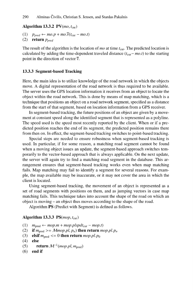
Algorithm 13.3.3 PS(mop, t cur )
(1) m pred ← mop.m + mop.plspdt cur − mop.t)
(2) if m pred >= Mmop.pl, p n ) then return mop.pl.p n
(3) elsif m pred <= 0 then return mop.pl.p 0
(4) else
(5)
return M
−1 (mop.pl, m pred )
(6) end if
Alminas ˇ
Civilis, Christian S. Jensen, and Stardas Pakalnis
Algorithm 13.3.2 PV(mo, t cur )
(1) p pred ← mo.p + mo.v(t cur − mo.t)
(2) return p pred
The result of the algorithm is the location of mo at time t cur . The predicted location is
calculated by adding the time-dependent traveled distance (t cur − mo.t) to the starting
point in the direction of vector v.
13.3.3 Segment-based Tracking
Here, the main idea is to utilize knowledge of the road network in which the objects
move. A digital representation of the road network is thus required to be available.
The server uses the GPS location information it receives from an object to locate the
object within the road network. This is done by means of map matching, which is a
technique that positions an object on a road network segment, specified as a distance
from the start of that segment, based on location information from a GPS receiver.
In segment-based tracking, the future positions of an object are given by a movement at constant speed along the identified segment that is represented as a polyline.
The speed used is the speed most recently reported by the client. When or if a predicted position reaches the end of its segment, the predicted position remains there
from then on. In effect, the segment-based tracking switches to point-based tracking.
Special steps are needed to ensure robustness when segment-based tracking is
used. In particular, if for some reason, a matching road segment cannot be found
when a moving object issues an update, the segment-based approach switches temporarily to the vector-based approach that is always applicable. On the next update,
the server will again try to find a matching road segment in the database. This arrangement ensures that segment-based tracking works even when map matching
fails. Map matching may fail to identify a segment for several reasons. For example, the map available may be inaccurate, or it may not cover the area in which the
client is located.
Using segment-based tracking, the movement of an object is represented as a
set of road segments with positions on them, and as jumping vectors in case map
matching fails. This technique takes into account the shape of the road on which an
object is moving – an object thus moves according to the shape of the road.
Algorithm PS (Predict with Segment) is defined as follows.
Algorithm 13.3.3 PS(mop, t cur )
(1) m pred ← mop.m + mop.plspdt cur − mop.t)
(2) if m pred >= Mmop.pl, p n ) then return mop.pl.p n
(3) elsif m pred <= 0 then return mop.pl.p 0
(4) else
(5)
return M
−1 (mop.pl, m pred )
(6) end if