

7 A Quality-enabled Spatial Integration System
137
Attribute
Meaning
gid
Object identifier
geom
Object geometry: point, line, polygon, etc.
toponym
Object toponyme
description, entityname Describe the kind of a road: “Railway,” “Street,” “Bridge,” “Unpaved street,” etc.
longm
Length of a road or a bridge
nbLanes
Number of lanes of a road or a bridge
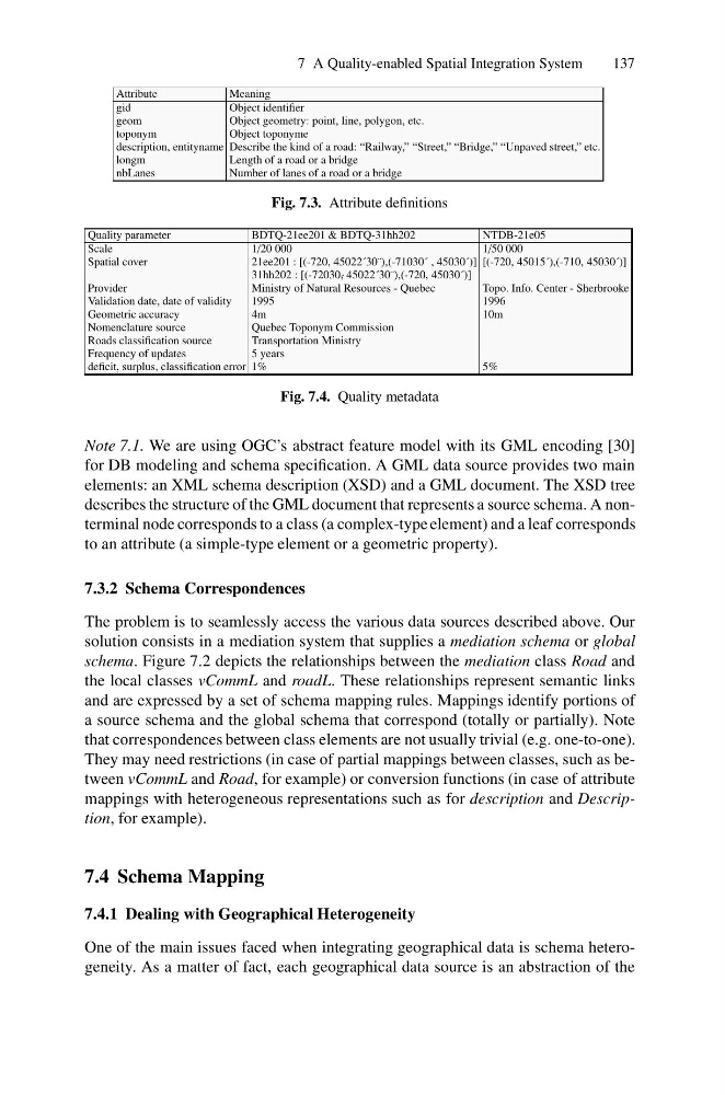
Fig. 7.3. Attribute definitions
Quality parameter
BDTQ-21ee201 & BDTQ-31hh202
NTDB-21e05
Scale
1/20 000
1/50 000
Spatial cover
21ee201 : [(-720, 45022´30¨),(-71030´ , 45030´)] [(-720, 45015´),(-710, 45030´)]
31hh202 : [(-72030 ´ , 45022´30¨),(-720, 45030´)]
Provider
Ministry of Natural Resources - Quebec
Topo. Info. Center - Sherbrooke
Validation date, date of validity
1995
1996
Geometric accuracy
4m
10m
Nomenclature source
Quebec Toponym Commission
Roads classification source
Transportation Ministry
Frequency of updates
5 years
deficit, surplus, classification error 1%
5%
Fig. 7.4. Quality metadata
Note 7.1. We are using OGC’s abstract feature model with its GML encoding [30]
for DB modeling and schema specification. A GML data source provides two main
elements: an XML schema description (XSD) and a GML document. The XSD tree
describes the structure of the GML document that represents a source schema. A nonterminal node corresponds to a class (a complex-type element) and a leaf corresponds
to an attribute (a simple-type element or a geometric property).
7.3.2 Schema Correspondences
The problem is to seamlessly access the various data sources described above. Our
solution consists in a mediation system that supplies a mediation schema or global
schema. Figure 7.2 depicts the relationships between the mediation class Road and
the local classes vCommL and roadL. These relationships represent semantic links
and are expressed by a set of schema mapping rules. Mappings identify portions of
a source schema and the global schema that correspond (totally or partially). Note
that correspondences between class elements are not usually trivial (e.g. one-to-one).
They may need restrictions (in case of partial mappings between classes, such as between vCommL and Road, for example) or conversion functions (in case of attribute
mappings with heterogeneous representations such as for description and Description, for example).
7.4 Schema Mapping
7.4.1 Dealing with Geographical Heterogeneity
One of the main issues faced when integrating geographical data is schema heterogeneity. As a matter of fact, each geographical data source is an abstraction of the
137
Attribute
Meaning
gid
Object identifier
geom
Object geometry: point, line, polygon, etc.
toponym
Object toponyme
description, entityname Describe the kind of a road: “Railway,” “Street,” “Bridge,” “Unpaved street,” etc.
longm
Length of a road or a bridge
nbLanes
Number of lanes of a road or a bridge
Fig. 7.3. Attribute definitions
Quality parameter
BDTQ-21ee201 & BDTQ-31hh202
NTDB-21e05
Scale
1/20 000
1/50 000
Spatial cover
21ee201 : [(-720, 45022´30¨),(-71030´ , 45030´)] [(-720, 45015´),(-710, 45030´)]
31hh202 : [(-72030 ´ , 45022´30¨),(-720, 45030´)]
Provider
Ministry of Natural Resources - Quebec
Topo. Info. Center - Sherbrooke
Validation date, date of validity
1995
1996
Geometric accuracy
4m
10m
Nomenclature source
Quebec Toponym Commission
Roads classification source
Transportation Ministry
Frequency of updates
5 years
deficit, surplus, classification error 1%
5%
Fig. 7.4. Quality metadata
Note 7.1. We are using OGC’s abstract feature model with its GML encoding [30]
for DB modeling and schema specification. A GML data source provides two main
elements: an XML schema description (XSD) and a GML document. The XSD tree
describes the structure of the GML document that represents a source schema. A nonterminal node corresponds to a class (a complex-type element) and a leaf corresponds
to an attribute (a simple-type element or a geometric property).
7.3.2 Schema Correspondences
The problem is to seamlessly access the various data sources described above. Our
solution consists in a mediation system that supplies a mediation schema or global
schema. Figure 7.2 depicts the relationships between the mediation class Road and
the local classes vCommL and roadL. These relationships represent semantic links
and are expressed by a set of schema mapping rules. Mappings identify portions of
a source schema and the global schema that correspond (totally or partially). Note
that correspondences between class elements are not usually trivial (e.g. one-to-one).
They may need restrictions (in case of partial mappings between classes, such as between vCommL and Road, for example) or conversion functions (in case of attribute
mappings with heterogeneous representations such as for description and Description, for example).
7.4 Schema Mapping
7.4.1 Dealing with Geographical Heterogeneity
One of the main issues faced when integrating geographical data is schema heterogeneity. As a matter of fact, each geographical data source is an abstraction of the