

310
S. Lehner et al.
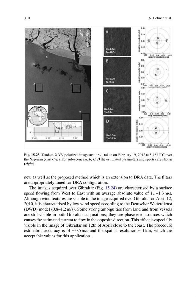
Fig. 15.23 Tandem-X VV polarized image acquired, taken on February 19, 2012 at 5:46 UTC over
the Nigerian coast (left). For sub-scenes A, B, C, D the estimated parameters and spectra are shown
(right)
new as well as the proposed method which is an extension to DRA data. The filters
are appropriately tuned for DRA configuration.
The images acquired over Gibraltar (Fig. 15.24) are characterised by a surface
speed flowing from West to East with an average absolute value of 1.1–1.3 m/s.
Although wind features are visible in the image acquired over Gibraltar on April 12,
2010, it is characterised by low wind speed according to the Deutscher Wetterdienst
(DWD) model (0.8–1.2 m/s). Some strong ambiguities from land and from vessels
are still visible in both Gibraltar acquisitions; they are phase error sources which
causes the estimated current to flow in the opposite direction. This effect is especially
visible in the image of Gibraltar on 12th of April close to the coast. The procedure
estimation accuracy is of ∼0.5 m/s and the spatial resolution ∼ 1 km, which are
acceptable values for this application.
S. Lehner et al.
Fig. 15.23 Tandem-X VV polarized image acquired, taken on February 19, 2012 at 5:46 UTC over
the Nigerian coast (left). For sub-scenes A, B, C, D the estimated parameters and spectra are shown
(right)
new as well as the proposed method which is an extension to DRA data. The filters
are appropriately tuned for DRA configuration.
The images acquired over Gibraltar (Fig. 15.24) are characterised by a surface
speed flowing from West to East with an average absolute value of 1.1–1.3 m/s.
Although wind features are visible in the image acquired over Gibraltar on April 12,
2010, it is characterised by low wind speed according to the Deutscher Wetterdienst
(DWD) model (0.8–1.2 m/s). Some strong ambiguities from land and from vessels
are still visible in both Gibraltar acquisitions; they are phase error sources which
causes the estimated current to flow in the opposite direction. This effect is especially
visible in the image of Gibraltar on 12th of April close to the coast. The procedure
estimation accuracy is of ∼0.5 m/s and the spatial resolution ∼ 1 km, which are
acceptable values for this application.