

G. Gabert: Integration of LANDSAT TM Data and SPOT Digital Elevation Model
169
;W;J'.~:"":"
I FIGUR!!! 3
Melamchi -SU ndarijal
Possible Tunnels and
"j Solution 1
""" Ground Surface Path
LEGEND
/v
.. .~
......
Tunnel posslbDIty
Ground surface path
HAZARD
• Low
Medium
o High
o Very high
o No data
o
s
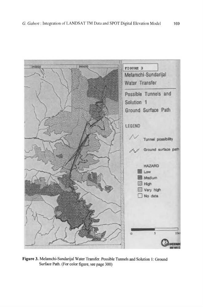
Figure 3. Melamchi-Sundarijal Water Transfer. Possible Tunnels and Solution 1: Ground
Surface Path. (For color figure, see page 300)
169
;W;J'.~:"":"
I FIGUR!!! 3
Melamchi -SU ndarijal
Possible Tunnels and
"j Solution 1
""" Ground Surface Path
LEGEND
/v
.. .~
......
Tunnel posslbDIty
Ground surface path
HAZARD
• Low
Medium
o High
o Very high
o No data
o
s
Figure 3. Melamchi-Sundarijal Water Transfer. Possible Tunnels and Solution 1: Ground
Surface Path. (For color figure, see page 300)