

158
Space and Earth Remote Sensing: GIS Application to Environmental Impact Studies
~
~
o i ~
~il
Ii:
~
(J
0::
u::
~
Ii!
00-,.
.. . .
..
~
;;:
~
~~
~~~ iO
.. ~ 8
~ 8 ~
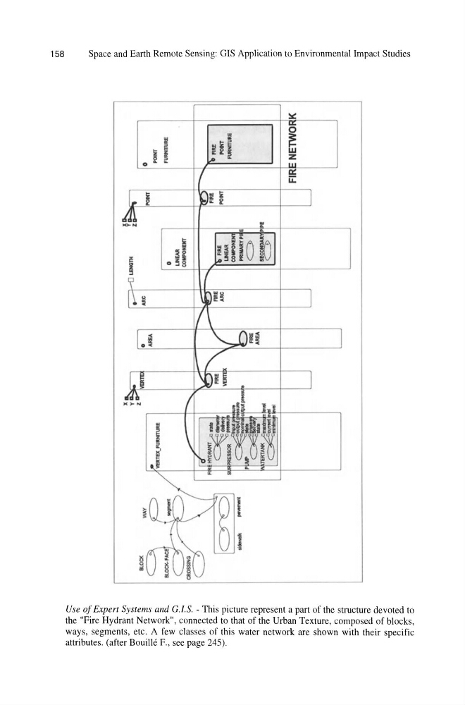
Use of Expert Systems and G.l.S. - This picture represent a part of the structure devoted to
the "Fire Hydrant Network", connected to that of the Urban Texture, composed of blocks,
ways, segments, etc. A few classes of this water network are shown with their specific
attributes. (after Bouille F., see page 245) .
Space and Earth Remote Sensing: GIS Application to Environmental Impact Studies
~
~
o i ~
~il
Ii:
~
(J
0::
u::
~
Ii!
00-,.
.. . .
..
~
;;:
~
~~
~~~ iO
.. ~ 8
~ 8 ~
Use of Expert Systems and G.l.S. - This picture represent a part of the structure devoted to
the "Fire Hydrant Network", connected to that of the Urban Texture, composed of blocks,
ways, segments, etc. A few classes of this water network are shown with their specific
attributes. (after Bouille F., see page 245) .