

60
J. Collina-Girard
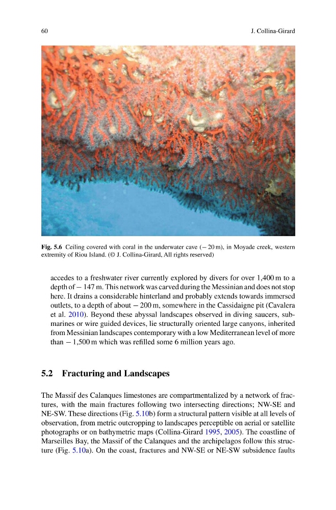
Fig. 5.6 Ceiling covered with coral in the underwater cave (− 20 m), in Moyade creek, western
extremity of Riou Island. (© J. Collina-Girard, All rights reserved)
accedes to a freshwater river currently explored by divers for over 1,400 m to a
depth of − 147 m. This network was carved during the Messinian and does not stop
here. It drains a considerable hinterland and probably extends towards immersed
outlets, to a depth of about − 200 m, somewhere in the Cassidaigne pit (Cavalera
et al. 2010). Beyond these abyssal landscapes observed in diving saucers, submarines or wire guided devices, lie structurally oriented large canyons, inherited
from Messinian landscapes contemporary with a low Mediterranean level of more
than − 1,500 m which was refilled some 6 million years ago.
5.2 Fracturing and Landscapes
The Massif des Calanques limestones are compartmentalized by a network of fractures, with the main fractures following two intersecting directions; NW-SE and
NE-SW. These directions (Fig. 5.10b) form a structural pattern visible at all levels of
observation, from metric outcropping to landscapes perceptible on aerial or satellite
photographs or on bathymetric maps (Collina-Girard 1995, 2005). The coastline of
Marseilles Bay, the Massif of the Calanques and the archipelagos follow this structure (Fig. 5.10a). On the coast, fractures and NW-SE or NE-SW subsidence faults
J. Collina-Girard
Fig. 5.6 Ceiling covered with coral in the underwater cave (− 20 m), in Moyade creek, western
extremity of Riou Island. (© J. Collina-Girard, All rights reserved)
accedes to a freshwater river currently explored by divers for over 1,400 m to a
depth of − 147 m. This network was carved during the Messinian and does not stop
here. It drains a considerable hinterland and probably extends towards immersed
outlets, to a depth of about − 200 m, somewhere in the Cassidaigne pit (Cavalera
et al. 2010). Beyond these abyssal landscapes observed in diving saucers, submarines or wire guided devices, lie structurally oriented large canyons, inherited
from Messinian landscapes contemporary with a low Mediterranean level of more
than − 1,500 m which was refilled some 6 million years ago.
5.2 Fracturing and Landscapes
The Massif des Calanques limestones are compartmentalized by a network of fractures, with the main fractures following two intersecting directions; NW-SE and
NE-SW. These directions (Fig. 5.10b) form a structural pattern visible at all levels of
observation, from metric outcropping to landscapes perceptible on aerial or satellite
photographs or on bathymetric maps (Collina-Girard 1995, 2005). The coastline of
Marseilles Bay, the Massif of the Calanques and the archipelagos follow this structure (Fig. 5.10a). On the coast, fractures and NW-SE or NE-SW subsidence faults