

248
A. Collin et al.
Fig. 16.1
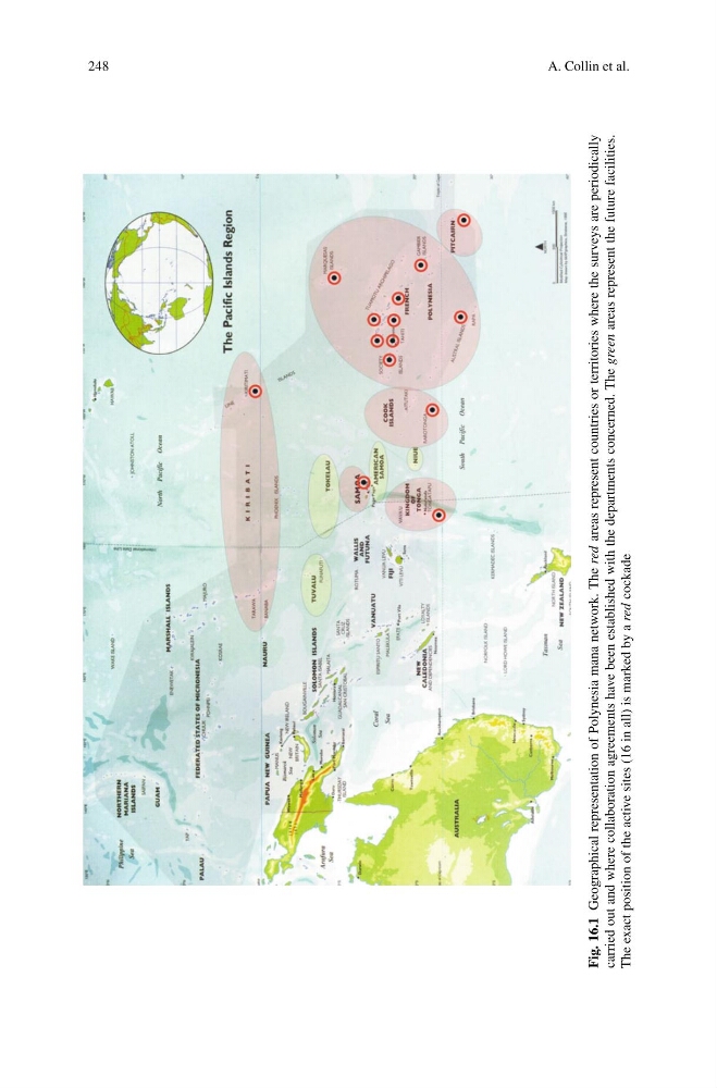
Geographical representation of Polynesia mana network. The red
areas represent countries or territories where the surveys are periodically
carried out and where collaboration agreements have been established with the departments concerned. The green
areas represent the future facilities.
The exact position of the active sites (16 in all) is marked by a red
cockade
A. Collin et al.
Fig. 16.1
Geographical representation of Polynesia mana network. The red
areas represent countries or territories where the surveys are periodically
carried out and where collaboration agreements have been established with the departments concerned. The green
areas represent the future facilities.
The exact position of the active sites (16 in all) is marked by a red
cockade