

232
P. Drap et al.
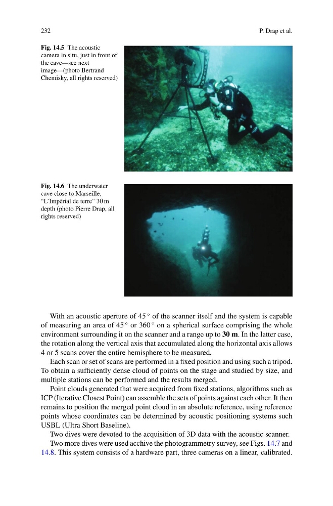
Fig. 14.5 The acoustic
camera in situ, just in front of
the cave—see next
image—(photo Bertrand
Chemisky, all rights reserved)
Fig. 14.6 The underwater
cave close to Marseille,
“L’Impérial de terre” 30 m
depth (photo Pierre Drap, all
rights reserved)
With an acoustic aperture of 45
◦ of the scanner itself and the system is capable
of measuring an area of 45
◦ or 360
◦ on a spherical surface comprising the whole
environment surrounding it on the scanner and a range up to 30 m. In the latter case,
the rotation along the vertical axis that accumulated along the horizontal axis allows
4 or 5 scans cover the entire hemisphere to be measured.
Each scan or set of scans are performed in a fixed position and using such a tripod.
To obtain a sufficiently dense cloud of points on the stage and studied by size, and
multiple stations can be performed and the results merged.
Point clouds generated that were acquired from fixed stations, algorithms such as
ICP (Iterative Closest Point) can assemble the sets of points against each other. It then
remains to position the merged point cloud in an absolute reference, using reference
points whose coordinates can be determined by acoustic positioning systems such
USBL (Ultra Short Baseline).
Two dives were devoted to the acquisition of 3D data with the acoustic scanner.
Two more dives were used acchive the photogrammetry survey, see Figs. 14.7 and
14.8. This system consists of a hardware part, three cameras on a linear, calibrated.
P. Drap et al.
Fig. 14.5 The acoustic
camera in situ, just in front of
the cave—see next
image—(photo Bertrand
Chemisky, all rights reserved)
Fig. 14.6 The underwater
cave close to Marseille,
“L’Impérial de terre” 30 m
depth (photo Pierre Drap, all
rights reserved)
With an acoustic aperture of 45
◦ of the scanner itself and the system is capable
of measuring an area of 45
◦ or 360
◦ on a spherical surface comprising the whole
environment surrounding it on the scanner and a range up to 30 m. In the latter case,
the rotation along the vertical axis that accumulated along the horizontal axis allows
4 or 5 scans cover the entire hemisphere to be measured.
Each scan or set of scans are performed in a fixed position and using such a tripod.
To obtain a sufficiently dense cloud of points on the stage and studied by size, and
multiple stations can be performed and the results merged.
Point clouds generated that were acquired from fixed stations, algorithms such as
ICP (Iterative Closest Point) can assemble the sets of points against each other. It then
remains to position the merged point cloud in an absolute reference, using reference
points whose coordinates can be determined by acoustic positioning systems such
USBL (Ultra Short Baseline).
Two dives were devoted to the acquisition of 3D data with the acoustic scanner.
Two more dives were used acchive the photogrammetry survey, see Figs. 14.7 and
14.8. This system consists of a hardware part, three cameras on a linear, calibrated.