

616
W. Judson Kenworthy et al.
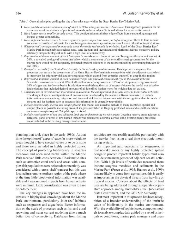
Table 1. General principles guiding the size of no-take areas within the Great Barrier Reef Marine Park.
1 Have no-take areas the minimum size of which is 20 km along the smallest dimension: This approach provides for the
maintenance of populations of plants and animals, reduces edge effects and allows for easier enforcement.
2 Have larger versus smaller no-take areas: This configuration minimizes edge effects from surrounding usage and
insures greater connectivity.
3 Have sufficient no-take zones to insure against negative impacts on some part of a bioregion: Three to four no-take
zones were considered adequate for most bioregions to ensure against impacts such as an oil spill or tropical storm.
4 Where a reef is incorporated into no-take areas the whole reef should be included: Reefs of the Great Barrier Reef
Marine Park include habitats such as coral, sand lagoons and lagoon and reef platform seagrass meadows and are
relatively integral biological units with a high level of connectivity.
5 Represent a minimum amount of each bioregion in no-take areas: In most non reef bioregions this amount was set at
20%, a so called ecological bottom line below which a consensus of the scientific steering committee felt the
marine park would not be adequately protected (present solutions to the reserve modeling are running between 20
and 30%).
6 Recognize cross-shelf and latitudinal diversity in the network of no-take areas: This approach recognizes that
processes that sustain the ecosystems of the Great Barrier Reef maintain connectivity with the adjacent coast which
is important for migratory fish and for seagrasses which extend from estuaries out to 60 m deep in this region.
7 Represent a minimum amount of each community type and physical environment type in the overall network:
Scientific consensus set sizes at 10% of all shallow water seagrasses and 10% of all deep water seagrasses (and
10% of algae and Halimeda beds). In addition to establishing the size of seagrass biomes the model was asked to
find solutions that included defined amounts of all identified habitat types for which a data set existed.
8 Maximize use of environmental information to determine the configuration of no-take areas to form viable networks:
The design of spatial configurations of no-take areas developed by the reserve software was asked to include
information on connectivity, migration and issues of sink/source interactions with the recognition that for much of
the area and for habitats such as seagrass this information is generally unavailable.
9 Include biophysically special and unique places: The model was asked to include as many identified special and
unique places as possible including areas of seagrass identified in Dugong protected areas and a small site where
an unusual morphology of Halophila spp. is found.
10 Include consideration of sea and adjacent land uses in determining no-take areas: Locating reserve areas adjacent to
terrestrial parks or areas of low human impact was considered desirable as was using existing highly protected
areas included in the existing management scheme.
planning that took place in the early 1980s. At that
time the opinion of ‘experts’ gave far more weight to
areas thought to have special values or to be pristine
and these were included in highly protected zones.
The concept of protecting biodiversity in seagrass
meadows and open sand banks within the Marine
Park received little consideration. Charismatic sites
such as attractive coral reefs and areas with complex fish populations were selected; connectivity was
considered with a cross shelf transect but this was
located in a remote northern region of the park where
at the time little biophysical information was available and it was assumed impacts from human activity
were minimal. Little consideration was given to ease
of enforcement.
The key changes in approach have been the increases in biophysical knowledge about the Marine
Park environment, particularly inter-reef habitats
such as seagrasses and algae beds. Better information on the scale of processes such as fish and coral
spawning and water current modeling give a much
better idea of connectivity. Databases from fishing
activities are now readily available particularly with
the trawler fleet using a real time electronic monitoring system.
An important gap, especially for seagrasses, is
that no-take zones or any highly protected spatial
design to protect important habitat types must also
include some management of adjacent coastal activities. With high levels of pesticides measured from
inshore seagrass meadows and sediments in the
Marine Park (Preen et al.,1995; Haynes et al., 1999)
that are likely to come from agriculture, this is easily
as important as the physical threats from trawling or
tropical storms. Concern about the effects of land
uses are being addressed through a separate cooperative approach among landholders, the Queensland
State Government, and the GBRMP Authority.
But most important in this process has been recognition of a broader understanding of the intrinsic
value of biodiversity in the marine environment.
With the availability of sophisticated computer models to analyze complex data guided by a set of principals or conditions, marine park managers and users