

286
J.C. Oliveira and G. Cabe~adas
11.2.2 Sado Estuary
The Sado estuary, like the Tejo estuary, belongs to the coastal plain
lagoon type, dominated by a wide tidal-flat bay and a narrow channel
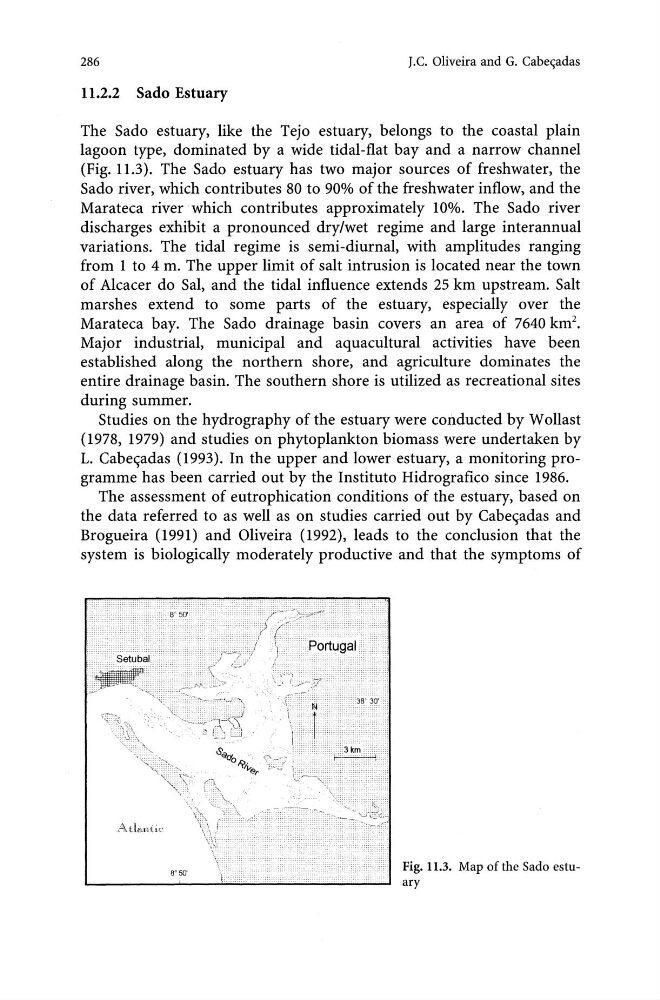
(Fig. 11.3). The Sado estuary has two major sources of freshwater, the
Sado river, which contributes 80 to 90% of the freshwater inflow, and the
Marateca river which contributes approximately 10%. The Sado river
discharges exhibit a pronounced dry/wet regime and large interannual
variations. The tidal regime is semi-diurnal, with amplitudes ranging
from 1 to 4 m. The upper limit of salt intrusion is located near the town
of Alcacer do Sal, and the tidal influence extends 25 km upstream. Salt
marshes extend to some parts of the estuary, especially over the
Marateca bay. The Sado drainage basin covers an area of 7640 km 2 •
Major industrial, municipal and aquacultural activities have been
established along the northern shore, and agriculture dominates the
entire drainage basin. The southern shore is utilized as recreational sites
during summer.
Studies on the hydrography of the estuary were conducted by W ollast
(1978, 1979) and studies on phytoplankton biomass were undertaken by
1. Cabe
the data referred to as well as on studies carried out by Cabe
system is biologically moderately productive and that the symptoms of
Fig. 11.3. Map of the Sado estuary
J.C. Oliveira and G. Cabe~adas
11.2.2 Sado Estuary
The Sado estuary, like the Tejo estuary, belongs to the coastal plain
lagoon type, dominated by a wide tidal-flat bay and a narrow channel
(Fig. 11.3). The Sado estuary has two major sources of freshwater, the
Sado river, which contributes 80 to 90% of the freshwater inflow, and the
Marateca river which contributes approximately 10%. The Sado river
discharges exhibit a pronounced dry/wet regime and large interannual
variations. The tidal regime is semi-diurnal, with amplitudes ranging
from 1 to 4 m. The upper limit of salt intrusion is located near the town
of Alcacer do Sal, and the tidal influence extends 25 km upstream. Salt
marshes extend to some parts of the estuary, especially over the
Marateca bay. The Sado drainage basin covers an area of 7640 km 2 •
Major industrial, municipal and aquacultural activities have been
established along the northern shore, and agriculture dominates the
entire drainage basin. The southern shore is utilized as recreational sites
during summer.
Studies on the hydrography of the estuary were conducted by W ollast
(1978, 1979) and studies on phytoplankton biomass were undertaken by
1. Cabe
the data referred to as well as on studies carried out by Cabe
system is biologically moderately productive and that the symptoms of
Fig. 11.3. Map of the Sado estuary