

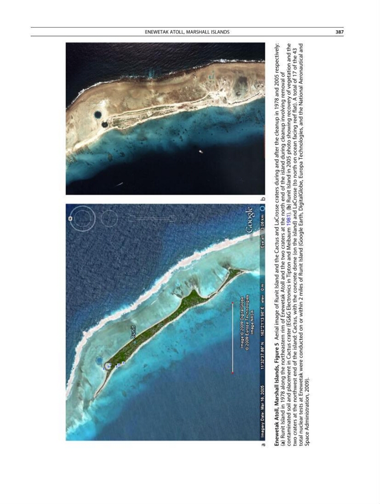
Enewetak Atoll, Marshall Islands, Figure 5
Aerial image of Runit Island and the Cactus and LaCrosse craters during and after the cleanup in 1978 and 2005 respectively:
(a) Runit Island in 1978 along the northeastern rim of Enewetak Atoll and the two craters at the north end of the island during cleanup involving removal of
contaminated soil and placement in Cactus crater (EG&G Electronics in Tipton and Meibaum 1981). (b) Runit Island in 2005 photo showing recovery of vegetation and the
two craters at the northwest end of the island: Cactus, with the concrete dome (on the island) and LaCrosse (to north on ocean facing reef flat). A total of 17 of the 43
total nuclear tests at Enewetak were conducted on or within 2 miles of Runit Island (Google Earth, DigitalGlobe, Europa Technologies, and the National Aeronautical and
Space Administration, 2009).
ENEWETAK ATOLL, MARSHALL ISLANDS
387
Aerial image of Runit Island and the Cactus and LaCrosse craters during and after the cleanup in 1978 and 2005 respectively:
(a) Runit Island in 1978 along the northeastern rim of Enewetak Atoll and the two craters at the north end of the island during cleanup involving removal of
contaminated soil and placement in Cactus crater (EG&G Electronics in Tipton and Meibaum 1981). (b) Runit Island in 2005 photo showing recovery of vegetation and the
two craters at the northwest end of the island: Cactus, with the concrete dome (on the island) and LaCrosse (to north on ocean facing reef flat). A total of 17 of the 43
total nuclear tests at Enewetak were conducted on or within 2 miles of Runit Island (Google Earth, DigitalGlobe, Europa Technologies, and the National Aeronautical and
Space Administration, 2009).
ENEWETAK ATOLL, MARSHALL ISLANDS
387