

Bibliography
Hopley, D., 1984. The Holocene high energy window on the Central
Great Barrier Reef. In Thom, B. G. (ed.), Coastal geomorphology in Australia. Sydney: Academic Press, pp. 135–150.
Hopley, D., and Barnes, R., 1985. Structure and development of
a windward fringing reef, Orpheus Island, Palm Group, Great
Barrier Reef. Proceeding 5th International Coral Reef Symp
3, 141–146.
Nott, J. F., 2003. The intensity of prehistoric tropical cyclones. Journal of Geophysical Research – Atmospheres, 108, No. D7,
4212–4223.
Nott, J. F., 2004. The tsunami hypothesis – comparisons of the field
evidence against the effects, on coasts, of some of the most powerful storms on Earth. Marine Geology, 208, 1–12.
Partain, B., and Hopley, D., 1989. Morphology and development
of the Cape Tribulation fringing reefs, Great Barrier Reef,
Australia. GBRMPA Technical Memorandum, 21, 45.
Perry, C., and Smithers, S., 2009. Stabilisation of intertidal cobbles
and gravels by Goniastreaaspera: an analogue for substrate colonisation during marine transgressions? Coral Reefs. DOI
10.1007/s00338-009-0518-4.
Cross-references
Fringing Reefs
Holocene High Energy Window
Tropical Cyclone/Hurricane
Tsunami
BOULDER ZONE/RAMPARTS
Paolo Antonio Pirazzoli
Centre National de la Recherche Scientifique, Paris,
France
Definition
Larger than shingle (20–200 mm in diameter), a boulder is
a rock detached from the parent body with size ranging
from 256 mm to several meters in diameter. Some degree
of rounding has characteristically taken place through
abrasion during transport (Carr, 1982).
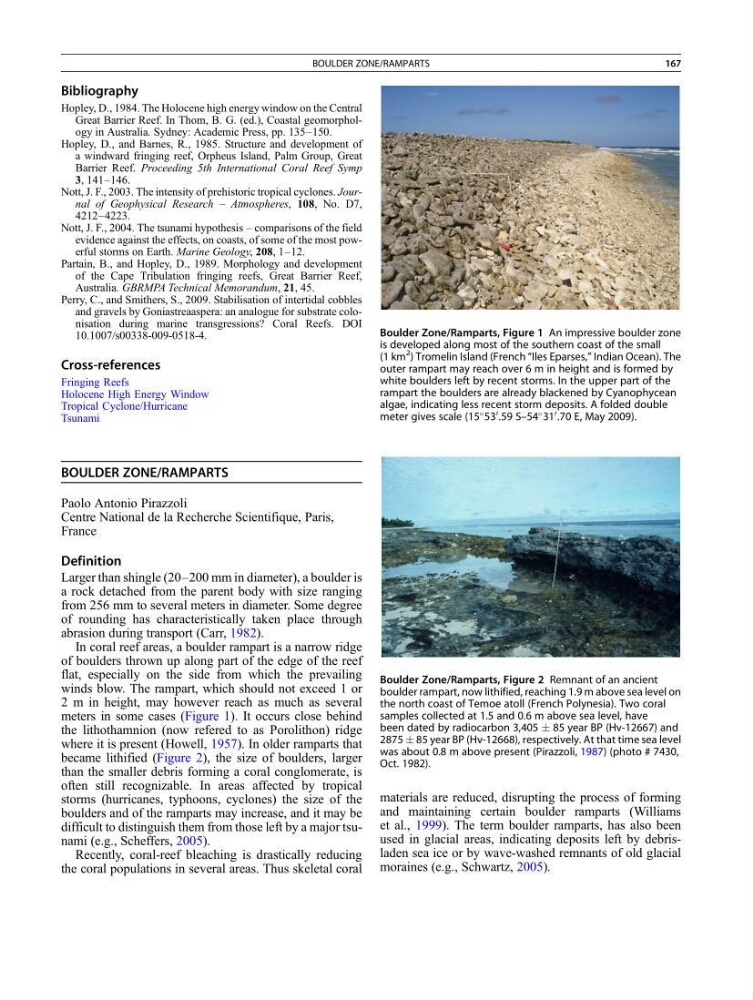
In coral reef areas, a boulder rampart is a narrow ridge
of boulders thrown up along part of the edge of the reef
flat, especially on the side from which the prevailing
winds blow. The rampart, which should not exceed 1 or
2 m in height, may however reach as much as several
meters in some cases (Figure 1). It occurs close behind
the lithothamnion (now refered to as Porolithon) ridge
where it is present (Howell, 1957). In older ramparts that
became lithified (Figure 2), the size of boulders, larger
than the smaller debris forming a coral conglomerate, is
often still recognizable. In areas affected by tropical
storms (hurricanes, typhoons, cyclones) the size of the
boulders and of the ramparts may increase, and it may be
difficult to distinguish them from those left by a major tsunami (e.g., Scheffers, 2005).
Recently, coral-reef bleaching is drastically reducing
the coral populations in several areas. Thus skeletal coral
materials are reduced, disrupting the process of forming
and maintaining certain boulder ramparts (Williams
et al., 1999). The term boulder ramparts, has also been
used in glacial areas, indicating deposits left by debrisladen sea ice or by wave-washed remnants of old glacial
moraines (e.g., Schwartz, 2005).
Boulder Zone/Ramparts, Figure 1 An impressive boulder zone
is developed along most of the southern coast of the small
(1 km
2 ) Tromelin Island (French “Iles Eparses,” Indian Ocean). The
outer rampart may reach over 6 m in height and is formed by
white boulders left by recent storms. In the upper part of the
rampart the boulders are already blackened by Cyanophycean
algae, indicating less recent storm deposits. A folded double
meter gives scale (15
53
0
.59 S–54
31
0
.70 E, May 2009).
Boulder Zone/Ramparts, Figure 2 Remnant of an ancient
boulder rampart, now lithified, reaching 1.9 m above sea level on
the north coast of Temoe atoll (French Polynesia). Two coral
samples collected at 1.5 and 0.6 m above sea level, have
been dated by radiocarbon 3,405 Æ 85 year BP (Hv-12667) and
2875 Æ 85 year BP (Hv-12668), respectively. At that time sea level
was about 0.8 m above present (Pirazzoli, 1987) (photo # 7430,
Oct. 1982).
BOULDER ZONE/RAMPARTS
167
Hopley, D., 1984. The Holocene high energy window on the Central
Great Barrier Reef. In Thom, B. G. (ed.), Coastal geomorphology in Australia. Sydney: Academic Press, pp. 135–150.
Hopley, D., and Barnes, R., 1985. Structure and development of
a windward fringing reef, Orpheus Island, Palm Group, Great
Barrier Reef. Proceeding 5th International Coral Reef Symp
3, 141–146.
Nott, J. F., 2003. The intensity of prehistoric tropical cyclones. Journal of Geophysical Research – Atmospheres, 108, No. D7,
4212–4223.
Nott, J. F., 2004. The tsunami hypothesis – comparisons of the field
evidence against the effects, on coasts, of some of the most powerful storms on Earth. Marine Geology, 208, 1–12.
Partain, B., and Hopley, D., 1989. Morphology and development
of the Cape Tribulation fringing reefs, Great Barrier Reef,
Australia. GBRMPA Technical Memorandum, 21, 45.
Perry, C., and Smithers, S., 2009. Stabilisation of intertidal cobbles
and gravels by Goniastreaaspera: an analogue for substrate colonisation during marine transgressions? Coral Reefs. DOI
10.1007/s00338-009-0518-4.
Cross-references
Fringing Reefs
Holocene High Energy Window
Tropical Cyclone/Hurricane
Tsunami
BOULDER ZONE/RAMPARTS
Paolo Antonio Pirazzoli
Centre National de la Recherche Scientifique, Paris,
France
Definition
Larger than shingle (20–200 mm in diameter), a boulder is
a rock detached from the parent body with size ranging
from 256 mm to several meters in diameter. Some degree
of rounding has characteristically taken place through
abrasion during transport (Carr, 1982).
In coral reef areas, a boulder rampart is a narrow ridge
of boulders thrown up along part of the edge of the reef
flat, especially on the side from which the prevailing
winds blow. The rampart, which should not exceed 1 or
2 m in height, may however reach as much as several
meters in some cases (Figure 1). It occurs close behind
the lithothamnion (now refered to as Porolithon) ridge
where it is present (Howell, 1957). In older ramparts that
became lithified (Figure 2), the size of boulders, larger
than the smaller debris forming a coral conglomerate, is
often still recognizable. In areas affected by tropical
storms (hurricanes, typhoons, cyclones) the size of the
boulders and of the ramparts may increase, and it may be
difficult to distinguish them from those left by a major tsunami (e.g., Scheffers, 2005).
Recently, coral-reef bleaching is drastically reducing
the coral populations in several areas. Thus skeletal coral
materials are reduced, disrupting the process of forming
and maintaining certain boulder ramparts (Williams
et al., 1999). The term boulder ramparts, has also been
used in glacial areas, indicating deposits left by debrisladen sea ice or by wave-washed remnants of old glacial
moraines (e.g., Schwartz, 2005).
Boulder Zone/Ramparts, Figure 1 An impressive boulder zone
is developed along most of the southern coast of the small
(1 km
2 ) Tromelin Island (French “Iles Eparses,” Indian Ocean). The
outer rampart may reach over 6 m in height and is formed by
white boulders left by recent storms. In the upper part of the
rampart the boulders are already blackened by Cyanophycean
algae, indicating less recent storm deposits. A folded double
meter gives scale (15
53
0
.59 S–54
31
0
.70 E, May 2009).
Boulder Zone/Ramparts, Figure 2 Remnant of an ancient
boulder rampart, now lithified, reaching 1.9 m above sea level on
the north coast of Temoe atoll (French Polynesia). Two coral
samples collected at 1.5 and 0.6 m above sea level, have
been dated by radiocarbon 3,405 Æ 85 year BP (Hv-12667) and
2875 Æ 85 year BP (Hv-12668), respectively. At that time sea level
was about 0.8 m above present (Pirazzoli, 1987) (photo # 7430,
Oct. 1982).
BOULDER ZONE/RAMPARTS
167