

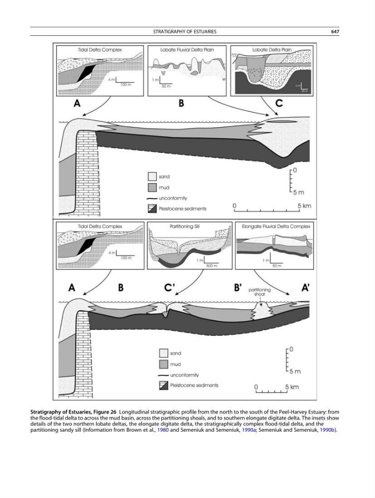
Stratigraphy of Estuaries, Figure 26 Longitudinal stratigraphic profile from the north to the south of the Peel-Harvey Estuary: from
the flood-tidal delta to across the mud basin, across the partitioning shoals, and to southern elongate digitate delta. The insets show
details of the two northern lobate deltas, the elongate digitate delta, the stratigraphically complex flood-tidal delta, and the
partitioning sandy sill (Information from Brown et al., 1980 and Semeniuk and Semeniuk, 1990a; Semeniuk and Semeniuk, 1990b).
STRATIGRAPHY OF ESTUARIES
647