

625
been given along with case studies. Techniques for remote sensing based monitoring of the mangrove forests along with other coastal ESAs have also been described
and explained along with the demonstrative case studies from India. Mangrove
health assessment model based on satellite data has been developed and implemented. The case study demonstrating the implementation of the mangrove health
model has also been presented. Remote sensing has been found to be very useful in
mapping and monitoring of the mangroves as they normally occur in the inaccessible and difficult areas.
0
1Kilometers
N
Bay of Bengal
Distance
<100m
100 - 500 m
1 - 5 km
500 - 1000 m
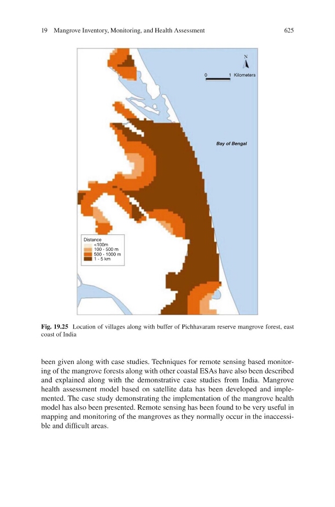
Fig. 19.25 Location of villages along with buffer of Pichhavaram reserve mangrove forest, east
coast of India
19 Mangrove Inventory, Monitoring, and Health Assessment