

624
19.8 Conclusions
Mangroves and its characteristics, geographic distributions and importance of this
ecosystem has been discussed. The possible threats, both anthropogenic and natural, have also been discussed. Remote sensing techniques and its applications in
inventory and monitoring of mangroves has been briefly presented. Identification of
mangroves and other coastal ESAs (Ecologically Sensitive Areas) such as mudflats, coral reefs etc. on the satellite image have also been described. Details of the
methodology for mapping of mangroves at community level using satellite data has
0
1Kilometers
N
Bay of Bengal
Erosion Accretion
Accretion in mangrove
Accretion along shore
No erosion/ Accretion
Erosion
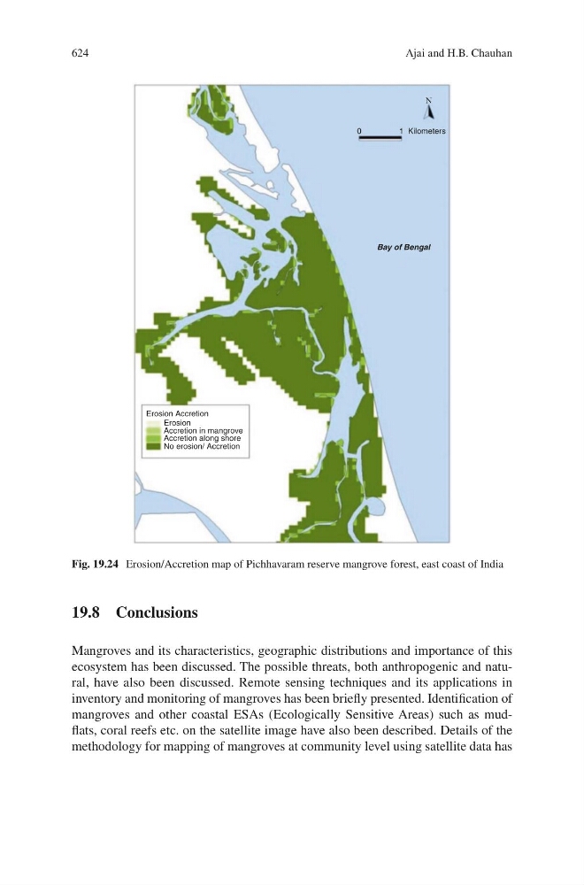
Fig. 19.24 Erosion/Accretion map of Pichhavaram reserve mangrove forest, east coast of India
Ajai and H.B. Chauhan