

591
namely, Gujarat, Maharashtra, Goa, Karnataka, Kerala, Tamil Nadu, Puducherry,
Andaman and Nicobar Islands, Andhra Pradesh, Odhisa and West Bengal.
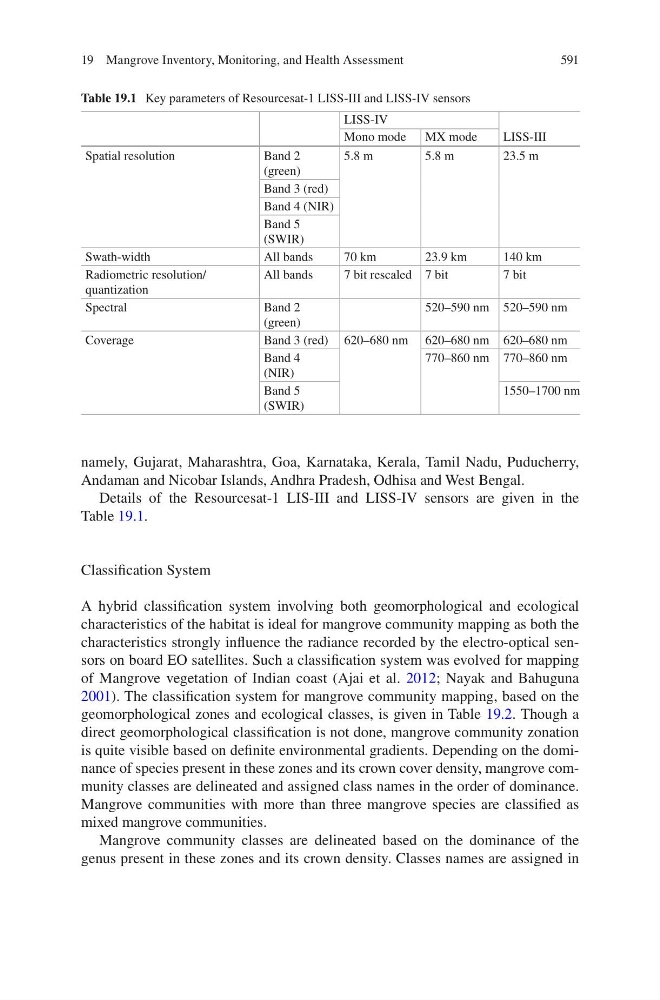
Details of the Resourcesat-1 LIS-III and LISS-IV sensors are given in the
Table 19.1.
Classification System
A hybrid classification system involving both geomorphological and ecological
characteristics of the habitat is ideal for mangrove community mapping as both the
characteristics strongly influence the radiance recorded by the electro-optical sensors on board EO satellites. Such a classification system was evolved for mapping
of Mangrove vegetation of Indian coast (Ajai et al. 2012; Nayak and Bahuguna
2001). The classification system for mangrove community mapping, based on the
geomorphological zones and ecological classes, is given in Table 19.2. Though a
direct geomorphological classification is not done, mangrove community zonation
is quite visible based on definite environmental gradients. Depending on the dominance of species present in these zones and its crown cover density, mangrove community classes are delineated and assigned class names in the order of dominance.
Mangrove communities with more than three mangrove species are classified as
mixed mangrove communities.
Mangrove community classes are delineated based on the dominance of the
genus present in these zones and its crown density. Classes names are assigned in
Table 19.1 Key parameters of Resourcesat-1 LISS-III and LISS-IV sensors
LISS-IV
LISS-III
Mono mode MX mode
Spatial resolution
Band 2
(green)
5.8 m
5.8 m
23.5 m
Band 3 (red)
Band 4 (NIR)
Band 5
(SWIR)
Swath-width
All bands
70 km
23.9 km
140 km
Radiometric resolution/
quantization
All bands
7 bit rescaled 7 bit
7 bit
Spectral
Band 2
(green)
520–590 nm 520–590 nm
Coverage
Band 3 (red) 620–680 nm 620–680 nm 620–680 nm
Band 4
(NIR)
770–860 nm 770–860 nm
Band 5
(SWIR)
1550–1700 nm
19 Mangrove Inventory, Monitoring, and Health Assessment