

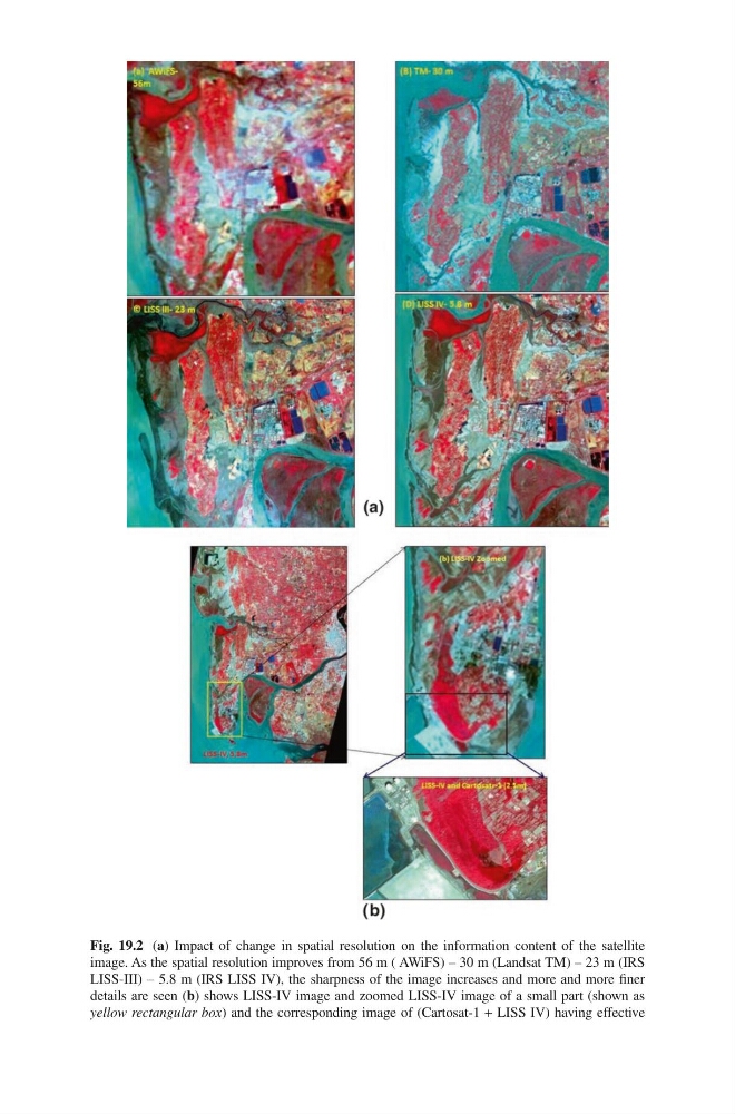
Fig. 19.2 (a) Impact of change in spatial resolution on the information content of the satellite
image. As the spatial resolution improves from 56 m ( AWiFS) – 30 m (Landsat TM) – 23 m (IRS
LISS-III) – 5.8 m (IRS LISS IV), the sharpness of the image increases and more and more finer
details are seen (b) shows LISS-IV image and zoomed LISS-IV image of a small part (shown as
yellow rectangular box) and the corresponding image of (Cartosat-1 + LISS IV) having effective