

541
supervised classifier used is the Random Forest algorithm, which is available in
OrfeoToolbox (version 5.0) free software. Random Forests offers high-quality mapping of different vegetation types with much faster computation compared to other
state-of-the-art classifiers such as, for instance, Support Vector Machines with
Gaussian kernels (Inglada et al. 2016). Random Forest is an ensemble learning technique and builds upon multiple decision trees. Each decision tree is built using a
subset of the original training data and is evaluated based on the remaining training
features. New objects are classified as the class that is predicted by the most trees.
According to Rodriguez-Galiano et al. 2012, the classifier has three main advantages for land cover classifications from remote-sensing images: (i) it reaches higher
accuracies than other machine-learning classifiers; (ii) it has the ability to measure
the importance level of the input images; (iii) it makes no assumptions about the
distributions of the input images (cited by Hütt et al. 2016). We use the following
parameters for the Random Forest algorithm: 100 trees, maximum depth of the tree
25 and minimum number of samples in each node 25.
The final stage of image processing relates to the integration of several images
from two satellites (Sentinel-1 and Sentinel-2), which have different spatial resolutions. Image integration is a method for combining information from various
sources. The combined analysis of optical and microwave imagery uses the advantages of both systems for vegetation classification.
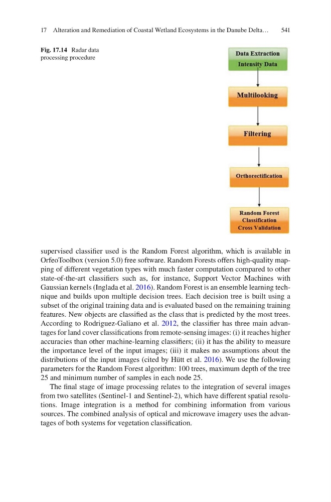
Fig. 17.14 Radar data
processing procedure
17 Alteration and Remediation of Coastal Wetland Ecosystems in the Danube Delta…