

139
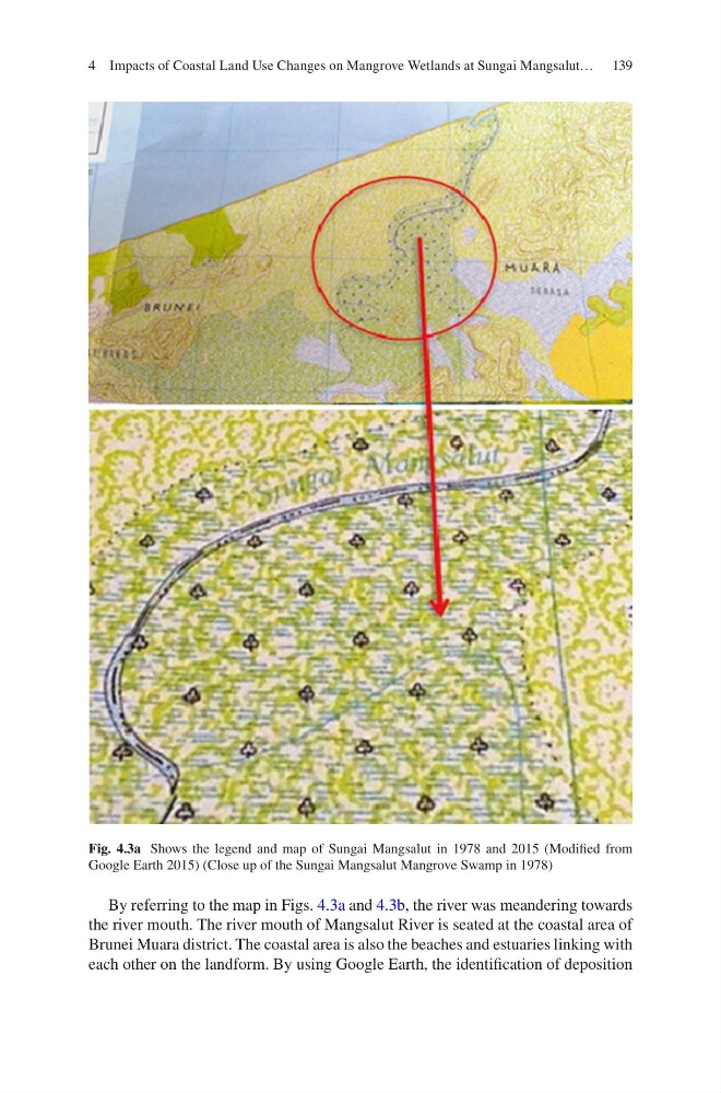
By referring to the map in Figs. 4.3a and 4.3b, the river was meandering towards
the river mouth. The river mouth of Mangsalut River is seated at the coastal area of
Brunei Muara district. The coastal area is also the beaches and estuaries linking with
each other on the landform. By using Google Earth, the identification of deposition
Fig. 4.3a Shows the legend and map of Sungai Mangsalut in 1978 and 2015 (Modified from
Google Earth 2015) (Close up of the Sungai Mangsalut Mangrove Swamp in 1978)
4 Impacts of Coastal Land Use Changes on Mangrove Wetlands at Sungai Mangsalut…
By referring to the map in Figs. 4.3a and 4.3b, the river was meandering towards
the river mouth. The river mouth of Mangsalut River is seated at the coastal area of
Brunei Muara district. The coastal area is also the beaches and estuaries linking with
each other on the landform. By using Google Earth, the identification of deposition
Fig. 4.3a Shows the legend and map of Sungai Mangsalut in 1978 and 2015 (Modified from
Google Earth 2015) (Close up of the Sungai Mangsalut Mangrove Swamp in 1978)
4 Impacts of Coastal Land Use Changes on Mangrove Wetlands at Sungai Mangsalut…