

440
Mapping Patterns of Human Use and Potential Resource Conflicts on Public Lands
,,," EtIJ:=:I=Cr:J •••
III
•
c
, .1I
(a) Human Use Intensity Model at l-km
Search Radius
HlGtI
r.,)
'"
;:)
1I,D
c:
LOW
::l
l:
NONE.
pecies Rich ness
(b) Species Richness Model: Number of Sensitive
Species Predicted per 90-m Grid Cell
(c) Intersection of a and b: Human Use Intensity and
Predicted Species Richness
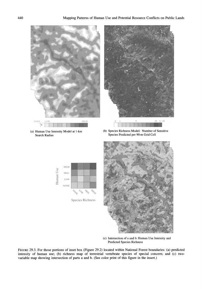
FIGURE 29.3. For those portions of inset box (Figure 29.2) located within National Forest boundaries: (a) predicted
intensity of human use; (b) richness map of terrestrial vertebrate species of special concern; and (c) twovariable map showing intersection of parts a and b. (See color print of this figure in the insert.)
Mapping Patterns of Human Use and Potential Resource Conflicts on Public Lands
,,," EtIJ:=:I=Cr:J •••
III
•
c
, .1I
(a) Human Use Intensity Model at l-km
Search Radius
HlGtI
r.,)
'"
;:)
1I,D
c:
LOW
::l
l:
NONE.
pecies Rich ness
(b) Species Richness Model: Number of Sensitive
Species Predicted per 90-m Grid Cell
(c) Intersection of a and b: Human Use Intensity and
Predicted Species Richness
FIGURE 29.3. For those portions of inset box (Figure 29.2) located within National Forest boundaries: (a) predicted
intensity of human use; (b) richness map of terrestrial vertebrate species of special concern; and (c) twovariable map showing intersection of parts a and b. (See color print of this figure in the insert.)