

MSS95A Product
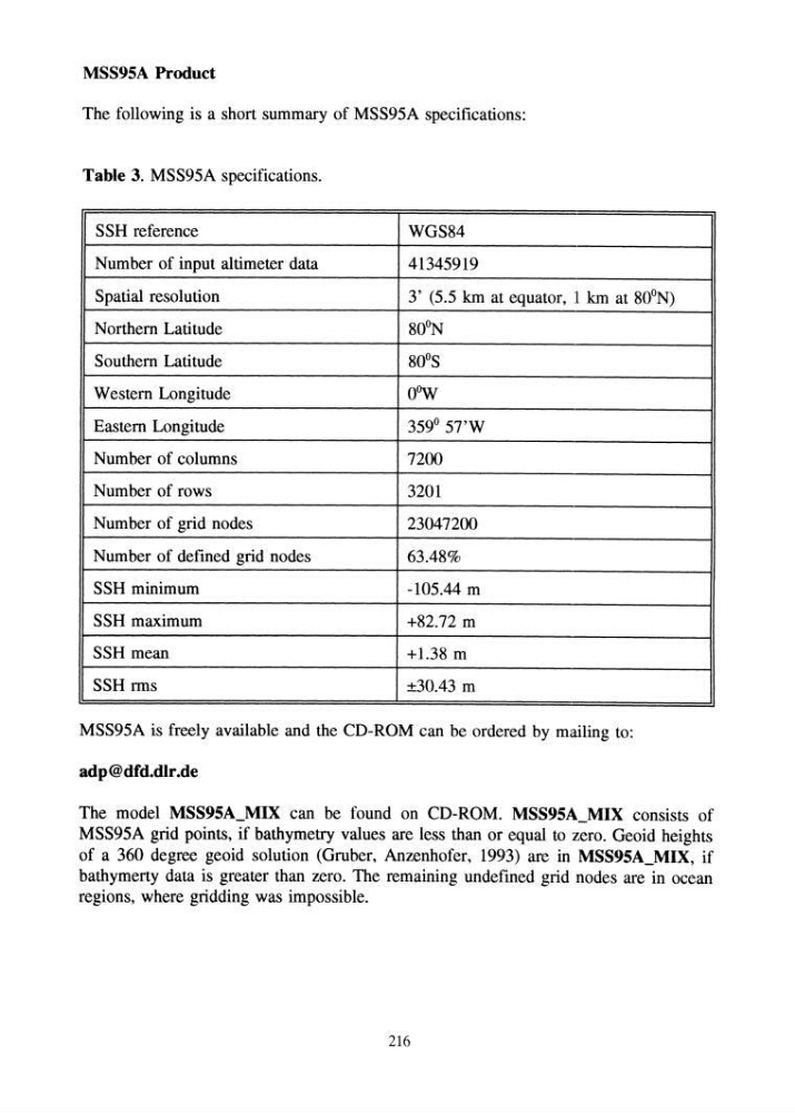
The following is a short summary of MSS95A specifications:
Table 3. MSS95A specifications.
SSH reference
WGS84
Number of input altimeter data
41345919
Spatial resolution
3' (5.5 km at equator, 1 km at 80'N)
Northern Latitude
80'N
Southern Latitude
80 0 S
Western Longitude
oow
Eastern Longitude
359° 57'W
Number of columns
7200
Number of rows
3201
Number of grid nodes
23047200
Number of defined grid nodes
63.48%
SSH minimum
-105.44 m
SSH maximum
+82.72 m
SSH mean
+1.38 m
SSH rms
±30.43 m
MSS95A is freely available and the CD-ROM can be ordered by mailing to:
adp@dfd.dlr.de
The model MSS95A_MIX can be found on CD-ROM. MSS95A_MIX consists of
MSS95A grid points, if bathymetry values are less than or equal to zero. Geoid heights
of a 360 degree geoid solution (Gruber, Anzenhofer, 1993) are in MSS95A_MIX, if
bathymerty data is greater than zero. The remaining undefined grid nodes are in ocean
regions, where gcidding was impossible.
216
The following is a short summary of MSS95A specifications:
Table 3. MSS95A specifications.
SSH reference
WGS84
Number of input altimeter data
41345919
Spatial resolution
3' (5.5 km at equator, 1 km at 80'N)
Northern Latitude
80'N
Southern Latitude
80 0 S
Western Longitude
oow
Eastern Longitude
359° 57'W
Number of columns
7200
Number of rows
3201
Number of grid nodes
23047200
Number of defined grid nodes
63.48%
SSH minimum
-105.44 m
SSH maximum
+82.72 m
SSH mean
+1.38 m
SSH rms
±30.43 m
MSS95A is freely available and the CD-ROM can be ordered by mailing to:
adp@dfd.dlr.de
The model MSS95A_MIX can be found on CD-ROM. MSS95A_MIX consists of
MSS95A grid points, if bathymetry values are less than or equal to zero. Geoid heights
of a 360 degree geoid solution (Gruber, Anzenhofer, 1993) are in MSS95A_MIX, if
bathymerty data is greater than zero. The remaining undefined grid nodes are in ocean
regions, where gcidding was impossible.
216